What is recorded here
On a hummock in pastureland. No visible surface trace survived of this hachured feature marked on the 1945 revision of the OS 6-inch map when inspected in 1984. An irregular patch of nettles marked its siting. Cartographic evidence suggests it was a sand or gravel pit. As it is of post-AD 1700 date it does not come within the remit of the Archaeological Survey of Ireland.
Compiled by: Olive Alcock
Date of upload: 11 August 2014
The monument record does not grant public access. Check the route and ask the landowner before entering private land.
- What survives
- Recorded monument
Places near here
 Holy WellHoly well · 1426 yd
 CastleCastle, unclassified · 1445 yd
 Parkeen WellHoly well · 1.1 mi
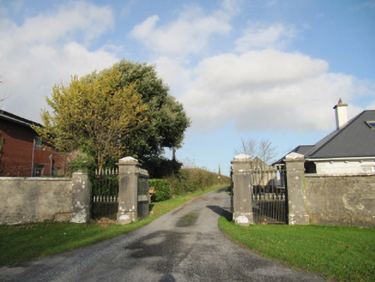 Rathmore Housegates/railings/walls · 1.2 mi
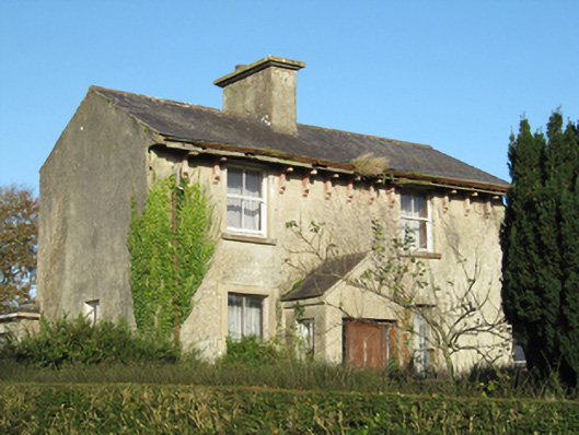 Lisduff Househouse · 1.4 mi
 Knockaunnageeragh Castle in ruinsCastle, unclassified · 2.3 mi
 Quarryhill WoodWood · 3.8 mi
 Bog WoodForest · 4.2 mi
 The bloody HollowHeritage attraction · 7.4 mi
 Battle of AughrimMajor battlefield · 7.4 mi
 Battle of Aughrim Interpretative CentreMuseum · 7.9 mi
 Urraghry HillMountain / peak · 8.2 mi