What is recorded here
Indicated is a fairy fort or stone ringfort in Keelty (athlone South By.), County Roscommon, Ireland. The circular grass-covered area measures 23.3 metres NNE-SSW and 23.1 metres WNW-ESE inside a re-built stone wall. A drystone wall sits on top of the original structure all around, while spoil lies outside the NE-SSE section. The four-metre entrance faces SW, placing Cashel twenty metres away to the SW.
Marked on the 1837 and 1915 eds of the OS 6-inch map as a circular feature (diam. c. 20m), and situated on a rise in an undulating landscape. Circular grass-covered area (int. diam. 23.3m NNE-SSW; 23.1m WNW-ESE) defined by a re-built and overgrown stone wall (Wth 1.6-2.8m; int. H 0.5-1.1m; ext. H 0.6-1m) which has a drystone wall built on top of it all around, and spoil added outside NE-SSE. The entrance (Wth 4m) is at SW. Cashel (RO052-017002-) is c. 20m to the SW.
Compiled by: Michael Moore
Date of upload: 24 August 2010
The monument record does not grant public access. Check the route and ask the landowner before entering private land.
- What survives
- Recorded monument
Places near here
 Embanked enclosureFairy fort / earthen ringfort · 1445 yd
 IndicatedFairy fort / earthen ringfort · 1.2 mi
 KilnKiln, corn-drying · 1.3 mi
 Drum ChurchChurch · 1.4 mi
 Castle QuarterCastle, unclassified · 2.2 mi
 Wren's IslandIslet · 2.6 mi
 Bastion GalleryGallery · 2.7 mi
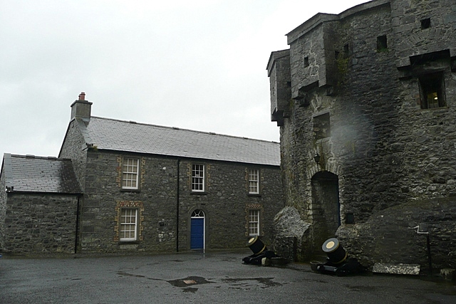 CastleCastle, unclassified · 2.8 mi
 Historic Town - Athlone Castle & Church of St Peter and PaulVisitor information · 2.8 mi
 Athlone CastleVisitor information · 2.8 mi
 1916 Centenery CommemorationMemorial · 3.0 mi
 Siege of Athlonesiege · 3.1 mi