What is recorded here
On a shelf on the N-facing slope of a ridge, and c. 30m W of cashel (RO006-131001-). Marked on the 1914 ed. of the OS 6-inch map and visible on aerial photograph (CUCAP AVI 43) as a small circular enclosure (diam. c. 5m). The area is now within an active quarry.
Compiled by: Michael Moore
Date of upload: 24 August 2010
The monument record does not grant public access. Check the route and ask the landowner before entering private land.
- What survives
- Recorded monument
Places near here
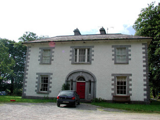 Carrigard Househouse · 590 yd
 Enclosure in Keeloges (boyle By.)Enclosure · 708 yd
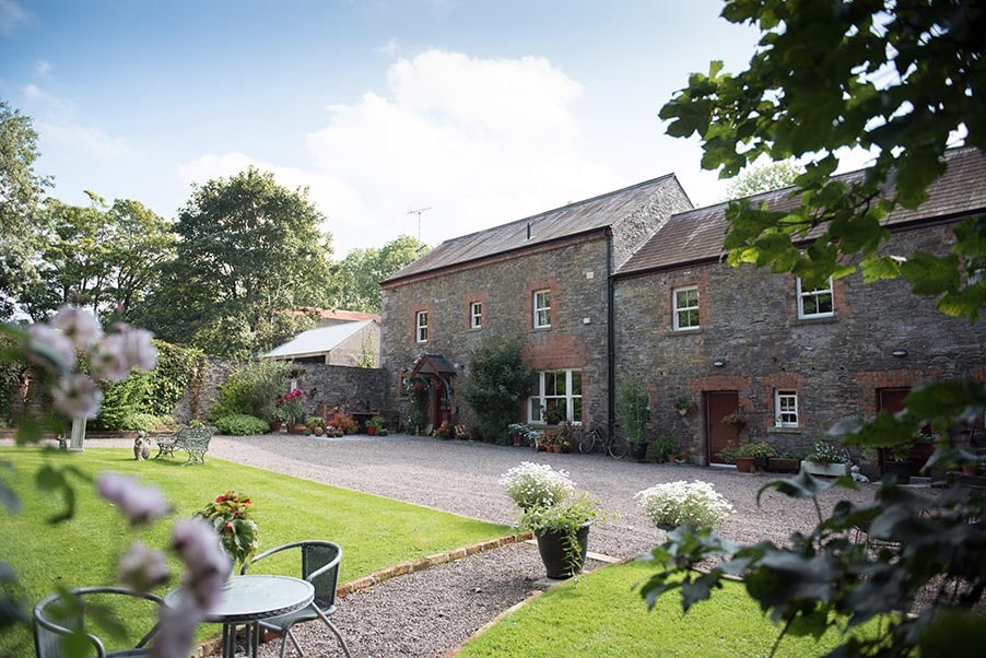 Enclosure in CarrickmoreEnclosure · 809 yd
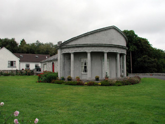 Rockingham Housegate lodge · 1016 yd
 Lough Key Forest ParkWood · 1.2 mi
 Erris BayBay · 1.4 mi
 Horse-chestnutHorse-chestnut · 1.6 mi
 Western RedcedarWestern Redcedar · 1.6 mi
 Trinity IslandIslet · 1.8 mi
 Longford HillMountain / peak · 1.8 mi
 Bingham IslandIslet · 1.8 mi
 Boyle AbbeyHeritage attraction · 1.9 mi