What is recorded here
Indicated is a fairy fort or ringfort in Keeloges (athlone South By.), County Roscommon, Ireland. The site sits on the crest of a ridge, where disused buildings still occupy a rectangular enclosure bounded by masonry walls that reach a NNW-SSE lane. Although maps from 1837 and 1915 marked the area as a D-shaped or oval field with a curved bank, no physical trace of that ancient enclosure remains visible today.
Marked as a D-shaped field (dims c. 55 E-W; 45m N-S) on the 1837 ed. of the OS 6-inch map and as an oval enclosure (dims c. 50m E-W; c. 45m N-S) defined by a curved field bank W-N-S with buildings outside the perimeter at S on the 1915 ed. Situated on the crest of a ridge. The disused buildings survive within a rectangular enclosure defined by masonry walls extending SW to a NNW-SSE lane, but there is no evidence of the enclosure.
Compiled by: Michael Moore
Date of revised upload: 20 November 2015
The monument record does not grant public access. Check the route and ask the landowner before entering private land.
- What survives
- Recorded monument
Places near here
 Embanked enclosureFairy fort / earthen ringfort · 985 yd
 Enclosure in CornafullaEnclosure · 1748 yd
 Drum ChurchChurch · 1.3 mi
 KilnKiln, corn-drying · 1.4 mi
 Castle QuarterCastle, unclassified · 2.0 mi
 Wren's IslandIslet · 2.8 mi
 Bastion GalleryGallery · 3.0 mi
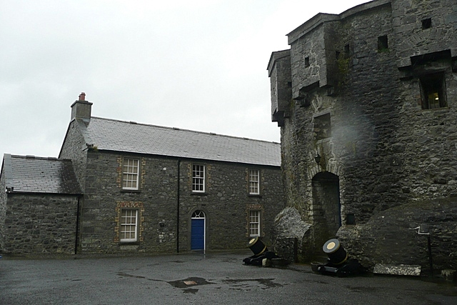 CastleCastle, unclassified · 3.0 mi
 Historic Town - Athlone Castle & Church of St Peter and PaulVisitor information · 3.1 mi
 Athlone CastleVisitor information · 3.1 mi
 1916 Centenery CommemorationMemorial · 3.3 mi
 Siege of Athlonesiege · 3.4 mi