What is recorded here
Marked only on the 1915 ed. of the OS 6-inch map as a circular feature (diam. c. 35m) with a quarry to the N. Situated at the S end of a low knoll. An arc (C 12m) of an earthen bank (Wth 3.8m; int. H 0.2m; ext. H 2m) and hedge with an outer fosse re-cut as a drain (Wth of base 2.4m; D 0.3m) survives at SE. Enclosure (RO008-043----) is c. 130m to the WNW.
Compiled by: Michael Moore
Date of upload: 24 August 2010
The monument record does not grant public access. Check the route and ask the landowner before entering private land.
- What survives
- Recorded monument
Places near here
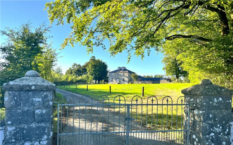 Embanked enclosureFairy fort / earthen ringfort · 1321 yd
 RoadRoad, class 1 togher · 1.1 mi
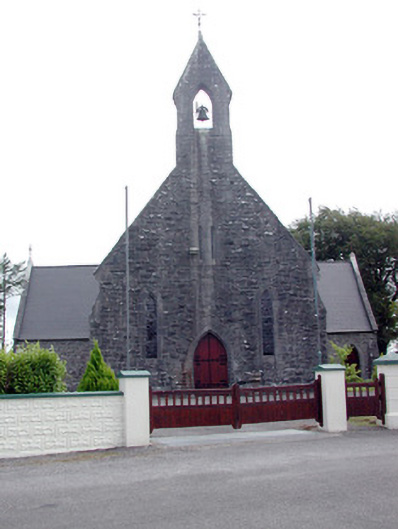 Saint Baoithín's Catholic Churchchurch/chapel · 1.4 mi
 Crannog in Callow OR RunnawillinCrannog · 1.5 mi
 CastleCastle, unclassified · 1.8 mi
 Bawn IslandIslet · 3.3 mi
 Casatle (ruins)Castle, unclassified · 3.4 mi
 Rose PointHeadland · 4.1 mi
 Fairymount HillMountain / peak · 4.2 mi
 Bockagh HillMountain / peak · 4.3 mi
 Castle PointHeadland · 4.5 mi
 Square WoodForest · 4.7 mi