What is recorded here
At the crest of a low E-W rise. Oval grass and scrub-covered platform (dims 40m E-W; 24m N-S) defined by a scarp (H 0.8m at E to 1.9m generally), which is planted with a hedge NW-NE. There is no visible fosse, but there is an entrance (Wth 2.5m) at E. Rath (RO004-016----) is c. 200m to the ESE.
Compiled by: Michael Moore
Date of upload: 24 August 2010
The monument record does not grant public access. Check the route and ask the landowner before entering private land.
- What survives
- Recorded monument
Places near here
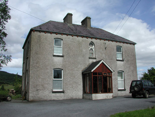 presbytery/parochial/curate's housepresbytery/parochial/curate's house · 239 yd
 Turlough O'CarolanMemorial · 268 yd
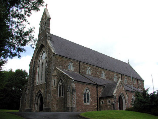 Catholic Church of the Nativity of the Blessed Virgin Marychurch/chapel · 312 yd
 Sweat House (Disused)Sweathouse · 315 yd
 IndicatedFairy fort / earthen ringfort · 874 yd
 Loughend IslandIsland · 958 yd
 Knockranny WoodsForest · 1073 yd
 Orchard IslandIsland · 1.3 mi
 Kilronan MountainMountain / peak · 1.6 mi
 Clothesrock WoodWood · 1.6 mi
 Arigna Mining ExperienceMuseum · 1.8 mi
 Josie McDermott MemorialMemorial · 3.0 mi