What is recorded here
Situated in fertile pasture at the lowest point of, and at the centre of a disused NNW-SSE avenue that extends from a W-E minor public road to Jamestown at N as far as the NW bank of a SW-NE portion of the River Shannon, but the avenue does not relate to any country houses. The enclosure is depicted fully as a circular tree-ring only on the 1945 revision OS 6-inch map. This is a large circular area (diam. 73m) defined by an earthen bank (Wth. 1m; H. 0.45m) and an external ditch (Wth 0.90m, ext. D. 0.30m). The perimeter is planted with deciduous trees.
Compiled by: Michael Moore
Date of upload: 17 October, 2019
The monument record does not grant public access. Check the route and ask the landowner before entering private land.
- What survives
- Recorded monument
Places near here
 Enclosure in JamestownEnclosure · 574 yd
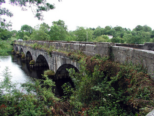 Jamestown Bridgebridge · 873 yd
 Jamestown Housegate lodge · 877 yd
 IndicatedTown defences · 1016 yd
 Patrick Gill Memorial Plaque (IRA)Monument · 1.3 mi
 Robert Strawbridge MemorialMemorial · 1.4 mi
 Wildlife AreaNature reserve · 1.4 mi
 Site of Dangan CastleCastle, unclassified · 2.0 mi
 Moon RiverHeritage attraction · 2.6 mi
 Mullinashee WoodForest · 3.7 mi
 InishmoylinIslet · 4.2 mi
 PortCastle, unclassified · 4.3 mi