What is recorded here
In tillage, on W-facing slope. Marked on 1842 OS 6-inch map as rectangular area (c. 50m ENE-WSW; c. 32m NNW-SSE) planted with trees around edge; 1902 and 1935 OS 6-inch map shows roughly circular area (diam. c. 45m). Levelled; grass greener in area of interior.
The above description is derived from the published 'Archaeological Inventory of County Cork. Volume 2: East and South Cork' (Dublin: Stationery Office, 1994). In certain instances the entries have been revised and updated in the light of recent research.
Date of upload/revision: 14 January 2009
The monument record does not grant public access. Check the route and ask the landowner before entering private land.
- What survives
- Recorded monument
Places near here
 View of Rostellan DolmenRuins · 294 yd
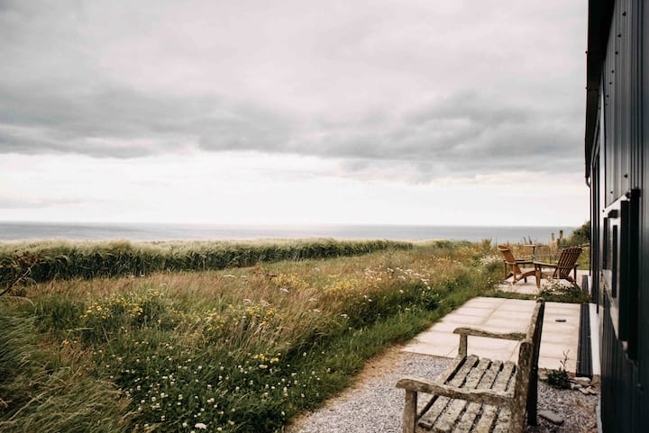 Jamesbrook HallCountry house · 298 yd
 DolmenMegalithic structure · 474 yd
 Saleen old mine bridgeRuins · 563 yd
 Garrankinnefeake GraveyardRuins · 636 yd
 (Site of) CastleCastle, unclassified · 1427 yd
 CastleCastle, unclassified · 1.3 mi
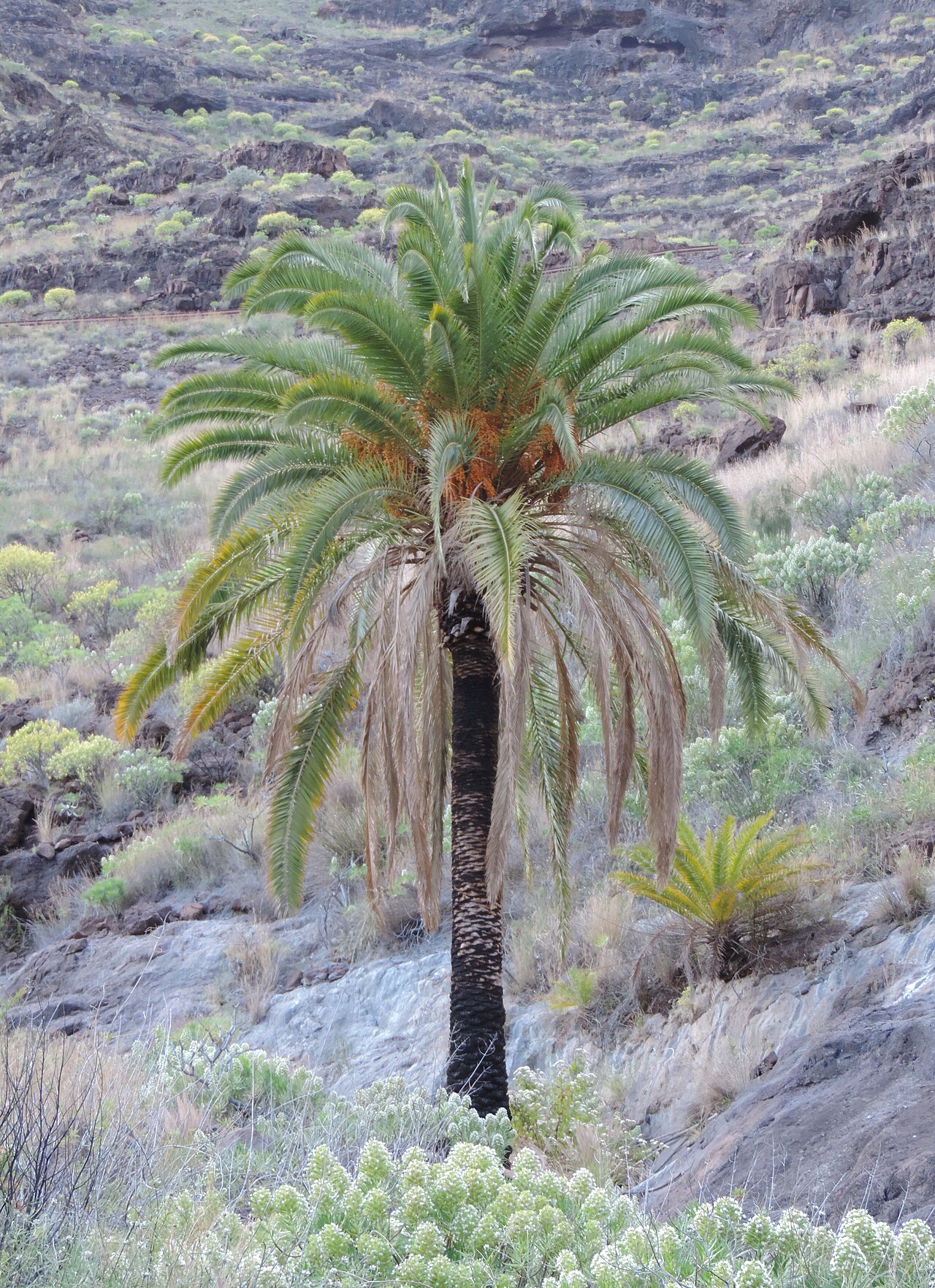 Canary Island date palmCanary Island date palm · 1.4 mi
 Japanese cedarJapanese cedar · 1.4 mi
 US Naval Air Station USNAS QueenstownHeritage attraction · 1.8 mi
 Site of old schoolHeritage attraction · 1.9 mi
 Graveyard in AghadaGraveyard · 2.1 mi