
What is recorded here
In pasture, atop hill, on E shore of Lough Mask. Circular raised area (22m N-S; 21m E-W), enclosed by two earthen banks with deep intervening fosse. Inner bank rises 4.3m above fosse base. Outer bank (H 0.9m) and fosse extant, ESE to NW. Heavily overgrown in parts. Stone palisade, SSW to NE, consists of thirty-five stones (highest; 2.3m), some standing and some lying prostrate, in an irregular pattern.
The above description has been derived from D. Lavelle (compiler), An Archaeological Survey of Ballinrobe and District including Lough Mask and Lough Carra. Lough Mask and Lough Carra Tourist Development Association (1994), No. 171.
Date of upload: 7 November 2013
A local fairy fort (ringfort/rath); wider significance not recorded.
The monument record does not grant public access. Check the route and ask the landowner before entering private land.
- What survives
- Recorded monument
Places near here
 Abbey in ruinsReligious house, Augustinian, of Arrouaise nuns · 1213 yd
 Castle in ruinsCastle, unclassified · 1275 yd
 Inishard RockIslet · 1310 yd
 Carrigeennaminna IslandIslet · 1338 yd
 Black RocksNamed rock · 1642 yd
 Loughmask Castle in ruinsCastle, tower house · 1.2 mi
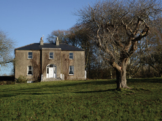 Loughmask Househouse · 1.2 mi
 Enclosure in KnocknamucklaghEnclosure · 1.6 mi
 CarrigeenbaunNamed rock · 2.0 mi
 Tobar-an-BhricHoly well · 2.2 mi
 LabbadermotCave · 2.5 mi
 Coill na FaircheWood · 3.9 mi
Other information
Photo: Credit not shown in the picture search · Rights wording not checked; contact us if this picture should be removed