
What is recorded here
In rough pasture, with much scrub. On E slope of natural rise, 250m to W is ringfort (MA117-036001-). Oval-shaped area (23.5m N-S; 30m E-W), enclosed by low earthen bank (H 0.3m), partly overlain by clearance material.
The above description has been derived from D. Lavelle (compiler), An Archaeological Survey of Ballinrobe and District including Lough Mask and Lough Carra. Lough Mask and Lough Carra Tourist Development Association (1994), No. 185.
Date of upload: 7 November 2013
A local fairy fort (ringfort/rath); wider significance not recorded.
The monument record does not grant public access. Check the route and ask the landowner before entering private land.
- What survives
- Recorded monument
Places near here
 IndicatedEnclosure · 607 yd
 Ballinchalla Church in ruinsChurch · 860 yd
 Loughmask CastleCastle · 1003 yd
 Loughmask Castle in ruinsCastle, tower house · 1008 yd
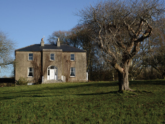 Loughmask Househouse · 1057 yd
 Tobar FheicinHoly well · 1312 yd
 Long IslandIslet · 1.3 mi
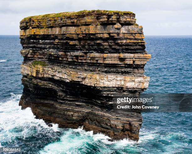 Long RockIslet · 1.3 mi
 LabbadermotCave · 1.4 mi
 Black RocksNamed rock · 2.4 mi
 European ashEuropean ash · 2.9 mi
 Devenish RocksNamed rock · 3.3 mi
Other information
Photo: Credit not shown in the picture search · Rights wording not checked; contact us if this picture should be removed