
What is recorded here
In graveyard, ruins of medieval rectangular church (5.1m N-S; 12.8m E-W). Ivy-clad E gable and N and S walls stand to near full height. Entrance at W end of S wall; with box-like piscina at E end. N wall (H 2.6 m) contains single headed ogee window at E end. E gable contains twin light headed ogee window. Some modern headstones in church interior. Known locally, and shown on 1838 OS map as Ballinchalla Church. In ruins by 1606 (Neary 1938,49).
The above description has been derived from D. Lavelle (compiler), An Archaeological Survey of Ballinrobe and District including Lough Mask and Lough Carra. Lough Mask and Lough Carra Tourist Development Association (1994), No. 601.
Date of upload: 6 November 2013
The monument record does not grant public access. Check the route and ask the landowner before entering private land.
- What survives
- Recorded monument
Places near here
 IndicatedEnclosure · 342 yd
 Enclosure in KnocknamucklaghEnclosure · 860 yd
 Castle in ruinsCastle, unclassified · 1221 yd
 Abbey in ruinsReligious house, Augustinian, of Arrouaise nuns · 1272 yd
 Loughmask CastleCastle · 1412 yd
 Long IslandIslet · 1437 yd
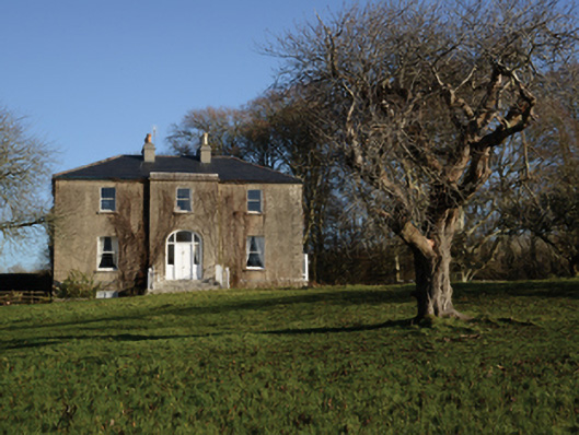 Loughmask Househouse · 1507 yd
 Shrub IslandIslet · 1550 yd
 LabbadermotCave · 1.2 mi
 Black RocksNamed rock · 2.1 mi
 European ashEuropean ash · 2.7 mi
 Devenish RocksNamed rock · 2.9 mi
Other information
Photo: Credit not shown in the picture search · Rights wording not checked; contact us if this picture should be removed