What is recorded here
Listed in both the SMR (1989) and the RMP (1995) and classified 'Barrow Possible'. In pasture, on top of a gentle rise at N end of Inishmore Island in Lough Arrow. A roughly kidney-shaped area (22m NW-SE), indenting deeply at NE, enclosed by an earthen bank (Wth 0.68m at top; int. H 0.2m; ext. H 0.6m) and external fosse (Wth 0.8m; D 0.3m). Drystone facing is evident on the external face of the bank at S and WNW. There is a gap in the bank at NW. The interior slopes gently down to SW and is overgrown with long grass and nettles. There are young beech trees in the interior and along the edge of the bank. This feature is likely to be an 18th/19th-century landscape feature. This is probably post-1700 AD in date.
Compiled by: Archaeological Survey Unit, UCC
Date of upload: 13 January 2012
The monument record does not grant public access. Check the route and ask the landowner before entering private land.
- What survives
- Recorded monument
Places near here
 TumulusCastle, motte · 192 yd
 InishmoreIslet · 232 yd
 Monastery (in Ruins)Church · 745 yd
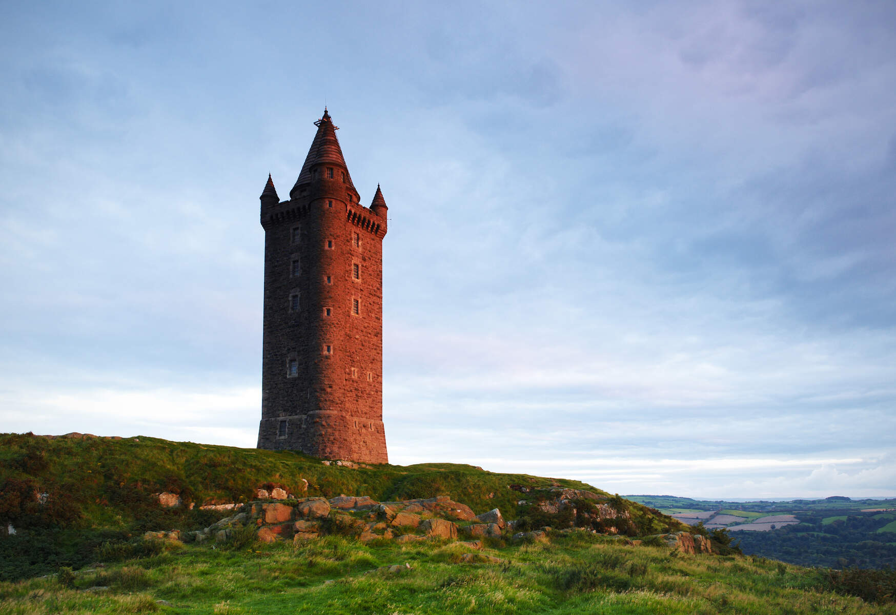 Tower (in Ruins)Structure · 814 yd
 Annaghgowla IslandIslet · 852 yd
 Enclosure in Barroe SouthEnclosure · 940 yd
 Ballindoon Castle (in Ruins)Castle, unclassified · 954 yd
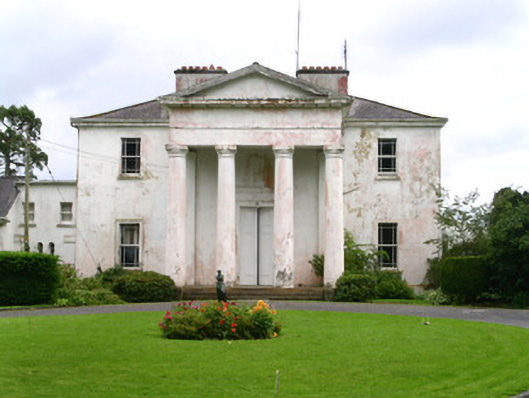 Ballindoon Housecountry house · 1065 yd
 Loughbrick BayBay · 1.3 mi
 Barroe NorthMountain / peak · 1.5 mi
 Bricklieve MountainsMountain / peak · 2.3 mi
 Treanscrabbagh caveCave · 2.9 mi