What is recorded here
Situated on the S bank in a loop of the NW-SE Faun River, with the stream c. 50m to the NE. The round tower (MO029-021002-) together with the sites of St. Daeg’s early church and the medieval parish church of Inishkeen (MO029-031001-) are within a sub-triangular graveyard (max. dims c. 70m N-S; c. 65m E-W) defined by masonry walls and with a right-angle at the SW. The three mausoleums (ME029-031003-) are in a line just SE of the present church building. A gradiometer survey (17R0133) by J. M. Leigh in the playing field just to the S was dominated by modern disturbance and no archaeological features were recognised.
Compiled by: Michael Moore
Date of revised upload: 1 December 2016
Amended: 16 September 2022
The monument record does not grant public access. Check the route and ask the landowner before entering private land.
- What survives
- Recorded monument
Places near here
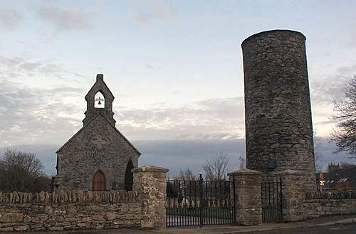 Round TowerRound tower · 22 yd
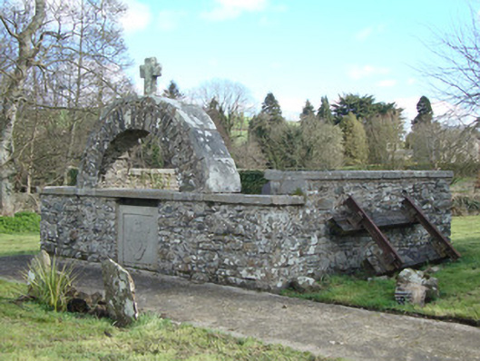 Inishkeen Churchmonument · 30 yd
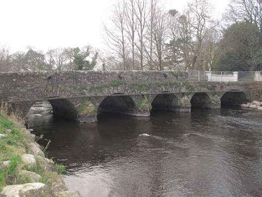 Inishkeen Bridgebridge · 95 yd
 Man-made underground passage in CandlefortMan-made underground passage · 224 yd
 IndicatedCastle, motte and bailey · 228 yd
 CastleCastle, motte and bailey · 2.7 mi
:no_upscale()/cdn.vox-cdn.com/uploads/chorus_asset/file/25593391/County_Louth_6th.jpg) LouthMountain / peak · 4.3 mi
LouthMountain / peak · 4.3 mi Ballsmill Amenity LandPicnic place · 5.3 mi
 Sky HillMountain / peak · 5.4 mi
 Photo GalleryHeritage attraction · 6.7 mi
 Dundalk CentralHeritage attraction · 6.7 mi
 Irish Hunger StrikersMemorial · 6.8 mi