What is recorded here
In pasture, located at the E end of Inishkeel Island in Clew Bay. The rath straddles the spine of a narrow ridge that extends the E–W length of the island. The elevation provides good views of the mainland, which located c. 200m to NW and is accessible on foot at low tide. A cluster of other islands lies nearby to N and E. Raised circular area (int. diam. 24.5m E–W) defined by an earthen bank, and enclosed by an external fosse, with possible remnants of an external bank. The bank (Wth 6m; int. H 1.4m; ext. H 3.3m, at N) is substantial and well-preserved on the N half of the rath; on the S half it retains its pronounced external scarp but the internal slope is reduced to a low internal rim. The fosse (Wth 3.5m; ext. D 1m) is evident as a well defined, flat-bottomed depression on the N arc, but at S it takes the form of a flat, water-logged terrace or shallow dip. A slight rise (Wth c. 2.5m) on the outer edge of the fosse at the S–SW may be the remains of an external bank. The interior is level; the height of the bank and its broad internal slump gives the rath a slightly concave profile. The entrance consists of a ramp-like gap (Wth 2m) at E, with a broad causeway (Wth 9-10m) across the fosse. It is possible that the notable width of the causeway results from relatively modern modification. According to local tradition, there is a Man-made underground passage (MA066-001001-) in the interior of a rath. Two low, sod-covered rises (diam. 2-3m), roughly circular in plan, in the N half of the interior may be relatively recent field clearance heaps.
In pasture, located at the E end of Inishkeel Island in Clew Bay. The rath straddles the spine of a narrow ridge that extends the E–W length of the island. The elevation provides good views of the mainland, which located c. 200m to NW and is accessible on foot at low tide. A cluster of other islands lies nearby to N and E. Raised circular area (int. diam. 24.5m E–W) defined by an earthen bank, and enclosed by an…
From the National Monuments Service (Archaeological Survey of Ireland) record MA066-001001
The monument record does not grant public access. Check the route and ask the landowner before entering private land.
- What survives
- Recorded monument
Places near here
IndicatedEnclosure · 653 yd Rosturk CastleCountry house · 902 ydRosturk CastleFarmyard complex · 956 ydKilleen CemeteryVisitor information · 2.9 miMulranny Tourist OfficeVisitor information · 3.0 miBawn in RockfleetBawn · 3.1 miRockfleet Castle in RuinsCastle, tower house · 3.2 miRockfleet CastleCastle · 3.2 miCorranabinnia sw TopMountain / peak · 4.7 miInishnakillewIslet · 4.8 miBengormMountain / peak · 4.8 miCollanmoreIsland · 5.0 mi
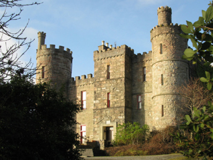 Rosturk CastleCountry house · 902 yd
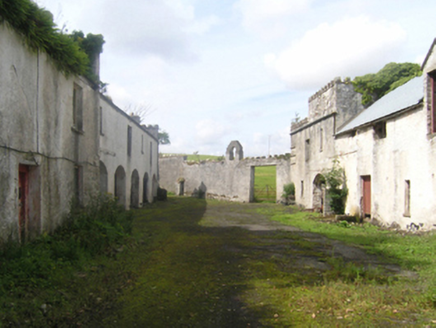 Rosturk CastleFarmyard complex · 956 yd
 Killeen CemeteryVisitor information · 2.9 mi
 Mulranny Tourist OfficeVisitor information · 3.0 mi
 Bawn in RockfleetBawn · 3.1 mi
 Rockfleet Castle in RuinsCastle, tower house · 3.2 mi
 Rockfleet CastleCastle · 3.2 mi
 Corranabinnia sw TopMountain / peak · 4.7 mi
 InishnakillewIslet · 4.8 mi
 BengormMountain / peak · 4.8 mi
 CollanmoreIsland · 5.0 mi
Pictures: National Inventory of Architectural Heritage; Robert Ashby, Geograph · CC BY-SA 2.0; P L Chadwick, Geograph · CC BY-SA 2.0; Colin Park, Geograph · CC BY-SA 2.0; N Chadwick, Geograph · CC BY-SA 2.0; Mikeoem, Wikimedia Commons · CC BY-SA 4.0; Kieran Campbell, Wikimedia Commons · CC BY-SA 2.0; The original uploader was Cearbhalld at English Wikipedia ., Wikimedia Commons · Public domain
More archaeology and monuments in County Mayo · All of County Mayo
What do you know about this place?