What is recorded here
In pasture, located on a rise, in gently undulating terrain overlooking the NW shoreline of Lough Con which lies 120m to E. It is on lands which were part of the demesne of Enniscoe House, an 18th-century country house. Raised circular area (36m N-S; 36.5m E-W) defined by a bank (Wth c. 5m; int. H 0.3m; ext. H 1.5m), with remnants of stone facing in parts on the external face. The NE arc of the bank has been levelled. Immediately outside the bank at SE-W there is a terrace-like gap (Wth 3.5-4.5m) on the outer edge of which is a low, broadly slumped outer bank/scarp (Wth c. 5m; int. H 0.3m; ext. H 0.5m), which is planted with beech trees. This feature does not continue around the full the circuit: At its W end it veers inwards to merge with the inner bank at NW, and at its SE end it continues beyond the rath to E. It may be the remnant of an original fosse and external bank that was modified as part of the landscaping of Enniscoe demesne to serve as a field boundary, and incorporated into a small tree-planted enclosure shown appended to the S-SE of the rath on the 1838 and 1922 OS 6-inch maps,
The rath interior is bisected centrally by a field fence on a NNE-SSW axis, and is traversed by remnants of cultivation ridges on a NW-SE axis. There is a castle (MA038-063001-) 290m to SE.
In pasture, located on a rise, in gently undulating terrain overlooking the NW shoreline of Lough Con which lies 120m to E. It is on lands which were part of the demesne of Enniscoe House, an 18th-century country house. Raised circular area (36m N-S; 36.5m E-W) defined by a bank (Wth c. 5m; int. H 0.3m; ext. H 1.5m), with remnants of stone facing in parts on the external face. The NE arc of the bank has been…
From the National Monuments Service (Archaeological Survey of Ireland) record MA038-062
The monument record does not grant public access. Check the route and ask the landowner before entering private land.
- What survives
- Recorded monument
Places near here
Photo credits
- National Inventory of Architectural Heritage
- Ray Martin, Wikimedia Commons · Public domain
- Neville Goodman, Geograph · Creative Commons Attribution-ShareAlike 2.0
- Mike Searle, Wikimedia Commons · CC BY-SA 2.0
- Pamela Norrington, Geograph · CC BY-SA 2.0
- Liz McCabe, Wikimedia Commons · CC BY-SA 2.0
- jeremy durrance, Geograph · Creative Commons Attribution-ShareAlike 2.0
- Colin Park, Geograph · CC BY-SA 2.0
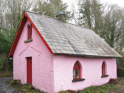 Enniscoe HouseGate lodge · 664 yd
 Cloonamine HouseFarm house · 747 ydCastle IslandIslet · 1467 ydRoe IslandIslet · 1.2 miGrave of the KingsArchaeological place · 2.3 mi
 CastleCastle, tower house · 2.9 mi
 Graveyard2.9 mi
_(geograph_1954385).jpg/250px-Castles_of_Connacht-_Deel,_Mayo_(1)_(geograph_1954385).jpg "Photo: Mike Searle, Wikimedia Commons · CC BY-SA 2.0") Deel CastleCastle · 3.1 mi
Deel CastleCastle · 3.1 mi Titanic Memorial ParkMemorial · 3.3 mi
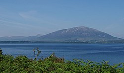 NephinMountain / peak · 5.2 mi
 IndicatedFairy fort / earthen ringfort · 6.1 mi
 KnockaffertaghMountain / peak · 8.8 mi
More archaeology and monuments in County Mayo · All of County Mayo
What do you know about this place?