What is recorded here
At the NE edge of a broad, low sand hill in the machair plain towards the NE end of Inishkea North.
This enclosure is indicated on the 1921 OS 6-inch map, where it is shown as part of a settlement cluster (MA023-011----) of enclosures and houses, named ‘Turrows’.
There is a row of three conjoined houses (MA023-011007- to MA023-011009-) 5m to S, another enclosure (MA023-011003-) 20m to SW and a house (MA023-011003-) 35m to W.
Roughly oval area (11.5m N–S; 14m E–W) defined by low, largely sod-covered remnants of a wall (Wth c. 0.5m), evident as a gapped, irregular setting of stones, with little trace of built structure visible. A few stones stand upright, but the majority barely break the surface. There are several breaks in the wall, the largest at SW (Wth 1m).
Attached image:
MA023-011006-_01.JPG Enclosure viewed from SW
Compiled by: Jane O’Shaughnessy
Date of upload: 9 August 2023
The monument record does not grant public access. Check the route and ask the landowner before entering private land.
- What survives
- Recorded monument
Places near here
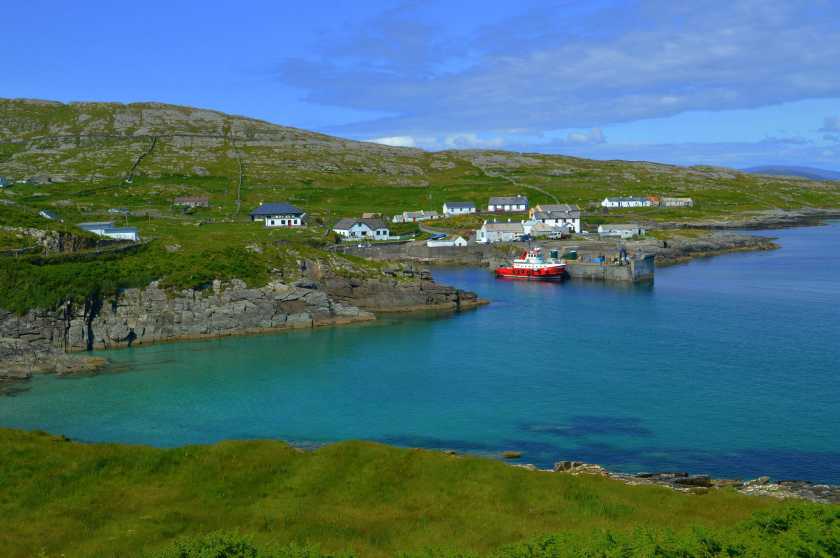 Enclosure in Inis Gé ThuaidhEnclosure · 40 yd
 Inis Gé ThuaidhIsland · 563 yd
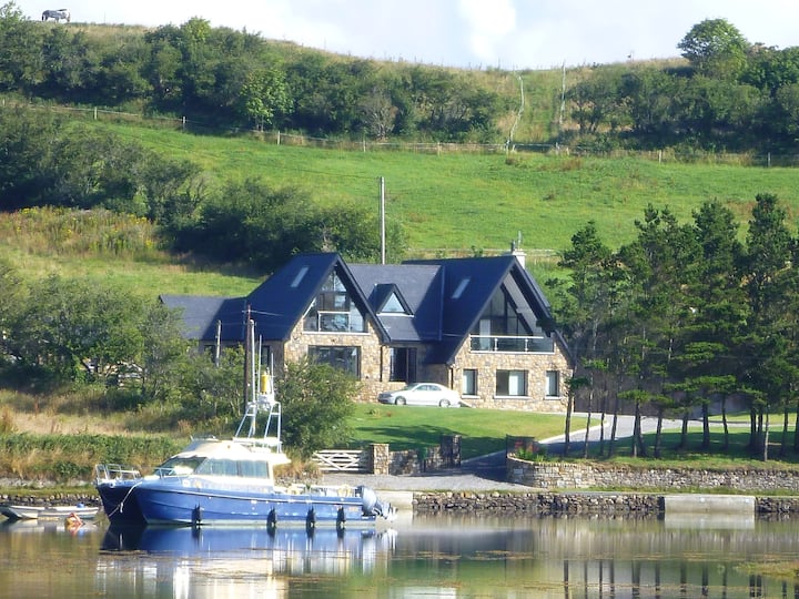 Cross in Inis Gé ThuaidhCross · 630 yd
 Carraig an MhoiltIslet · 1.2 mi
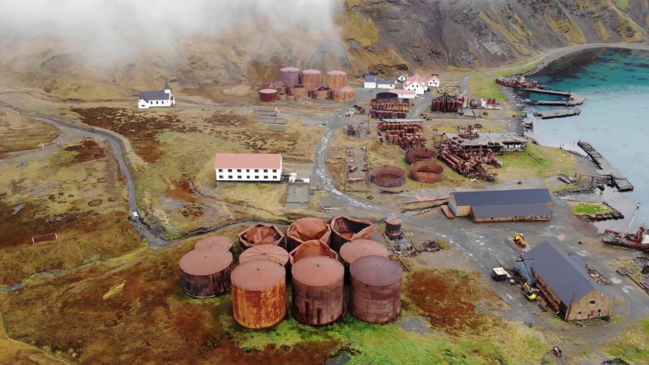 Rusheen Island Whaling StationRuins · 1.3 mi
 Church (in Ruins)Church · 1.5 mi
 Site of Redmond Barretts CastleCastle, unclassified · 3.2 mi
 Termon BeachBeach / strand · 4.2 mi
 Trá OilíBeach / strand · 4.5 mi
 Barranagh Castle in RuinsCastle, unclassified · 5.6 mi
 Cuan an Fhóid DuibhBay · 7.9 mi
 Ceann an EanaighHeadland · 8.0 mi