What is recorded here
In grove of conifers below crest of hill. Oval area (36.5m N-S; 26.6m E-W) enclosed by earthen bank (H 2.9m) SSW->NNE; scarp elsewhere (max. H 5m); shallow external fosse to N and S. Trackway skirts bank to W. Entrance to NE (Wth 4m), stone-faced. Interior raised on E side to compensate for hillslope. Myler (1998, 19) notes that the western bank is 'composed of gravelly clay to a height of 10ft'.
The above description is derived from the published 'Archaeological Inventory of County Cork. Volume 1: West Cork' (Dublin: Stationery Office, 1992). In certain instances the entries have been revised and updated in the light of recent research.
Date of upload/revision: 24 January 2013
The monument record does not grant public access. Check the route and ask the landowner before entering private land.
- What survives
- Recorded monument
Places near here
 Country house in InchicloghCountry house · 176 yd
 Church in InchicloghChurch · 392 yd
 Cliff-edge fort in DromdoneenCliff-edge fort · 770 yd
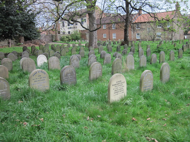 Burial ground in DrombrowBurial ground · 955 yd
 Castle (in Ruins)House, fortified house · 1.8 mi
 Ballylickey BayBay · 1.8 mi
 Eagle PointHeadland · 2.3 mi
 Trawlebane WalkWalking route · 2.4 mi
 Snave StrandBeach / strand · 2.5 mi
 Graveyard in TownlotsGraveyard · 2.5 mi
 Francis O'Neill PlaqueMemorial · 2.6 mi
 Horse IslandIslet · 2.6 mi