
What is recorded here
On a very gentle S-facing pasture slope. One of three closely associated raths (along with KD032-034---- to the NNE and KD032-036---- to the SSW) recorded on the 1st ed. (1839) of the OS 6-inch map, where it is shown as a large circular area enclosed by a bank (est. max. diam. c. 60m). Described in 1972 as a roughly circular area (int. diam. 37m) enclosed by a low earthen bank (SMR file). The monument has since been reduced to a slightly raised circular area (int. diam. 30m) defined by a low scarp (H 0.2-0.3m).
Compiled by: Gearóid Conroy
Date of upload: 30 October 2013
A local fairy fort (ringfort/rath); wider significance not recorded.
The monument record does not grant public access. Check the route and ask the landowner before entering private land.
- What survives
- Recorded monument
Places near here
 RathglassEnclosure · 171 yd
 Narraghmore Nature ReserveForest · 779 yd
 Church (in Ruins)Church · 963 yd
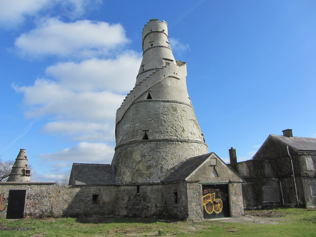 Enclosure in AnnaloughEnclosure · 1265 yd
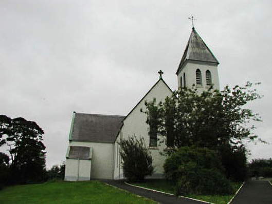 Saint Joseph's Catholic Churchchurch/chapel · 1.1 mi
 CrookanurnWood · 1.4 mi
 Blackhall CastleCastle, tower house · 1.7 mi
 Colbinstown Castle (in Ruins)Castle, unclassified · 2.0 mi
 Battle of Kilrushbattle · 3.1 mi
 Burtown House and GardensHeritage attraction · 4.3 mi
 Gorden Bennet Race memorialMemorial · 5.0 mi
 History of Moat of ArdscullVisitor information · 5.0 mi
Other information
Photo: Credit not shown in the picture search · Rights wording not checked; contact us if this picture should be removed