
What is recorded here
In level pasture, in the valley of the Flesk River. A low grass-covered bank (Wth 2.2m; int. H 0.3m; ext. H 0.6m) of earth and stone, curves gradually for c. 60m forming the SW arc of the enclosing element of a children's burial ground (KE076-011001-). This bank appears to be part of a large enclosure associated with a nearby cross-slab (KE076-011001-) and leacht (KE076-011004-).
Compiled by: Elizabeth Byrne, Ursula Egan and Sheila Ronan, Archaeological Survey Unit, University College, Cork.
Date of upload: 31 January 2011
The monument record does not grant public access. Check the route and ask the landowner before entering private land.
- What survives
- Recorded monument
Places near here
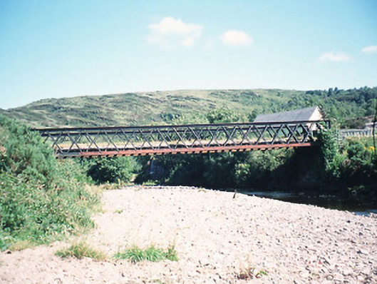 bridgebridge · 524 yd
 Loo Br.Bridge · 568 yd
 All Saints WellHoly well · 660 yd
 Fulacht fia in Gort An TsléibheFulacht fia · 1550 yd
 CoolcurtogaMountain / peak · 1.1 mi
 CrohaneMountain / peak · 2.4 mi
 Killaha Castle (in Ruins)Castle, tower house · 3.7 mi
 Hidden Valley Pet FarmHeritage attraction · 5.4 mi
 Torc WaterfallWaterfall · 7.6 mi
 Muckross Lake WalkWalking route · 7.8 mi
 Monterey CypressMonterey Cypress · 7.9 mi
 Castlelough BayBay · 8.2 mi
Other information
Photo: Credit not shown in the picture search · Rights wording not checked; contact us if this picture should be removed