What is recorded here
Located on a slight rise in a flat, low-lying landscape with the N-S River Blackwater c. 600m to the E and the sea-shore c. 900m to the SE. This is a flat topped but overgrown mound (diam. of top 17m; diam. of base 28m; H 4m) defined by the remains of a fosse (Wth of top 11-13m; D c. 0.4m), with the remains of a possible triangular bailey (dims. 30m NE-SW; 30m NW-SE) just to the NW.
From the National Monuments Service (Archaeological Survey of Ireland) record WX033-006
The monument record does not grant public access. Check the route and ask the landowner before entering private land.
- What survives
- Recorded monument
Places near here
Photo credits
- National Inventory of Architectural Heritage
- Michal Osmenda, Wikimedia Commons · CC BY-SA 2.0
- Sarah777 at English Wikipedia, Wikimedia Commons · Public domain
- Andrewmc, Wikimedia Commons · CC BY-SA 3.0
- Chris, Wikimedia Commons · CC BY-SA 2.0
- sarah777, Wikimedia Commons · CC BY-SA 2.0
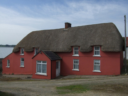 farm house953 yd
 RowanHouse · 994 yd71Mountain / peak · 996 ydBlackwater Coastal Erosion Monitoring PointViewpoint · 1068 ydStone CrossesCross · 1557 ydSt. Bridgets WellHoly well · 1.4 miCastleCastle, unclassified · 2.2 mi
 Ballinesker BeachBeach / strand · 2.5 mi
 Curracloe BeachBeach / strand · 3.4 mi
.jpg/250px-1798_Monument_(1).jpg "Photo: Andrewmc, Wikimedia Commons · CC BY-SA 3.0") 1798 MonumentMemorial · 3.5 mi
1798 MonumentMemorial · 3.5 mi Raven Point Nature ReserveForest · 4.9 mi
 1798 MemorialMonument · 5.3 mi
More castles and forts in County Wexford · All of County Wexford
What do you know about this place?