
What is recorded here
Indicated in planting is a ruined rath in County Monaghan, disguised today as a tree ring on a drumlin slope. It kept its circular shape through centuries of forestry and neglect, suggesting human hands first drew the boundary before nature filled it. The missing entrance and buried fosse hint that the site resisted full erasure even when people stopped visiting.
Situated on a small W-E spur towards the bottom of the E-facing slope of a drumlin and within view of the site of Newbliss House, which is c. 440m to the NE. A circular enclosure (ext. diam. c. 25m) is depicted on the line of the straight W perimeter of a D-shaped wood (dims c. 90m N-S; c. 80m E-W) on the 1834 and 1907 editions of the OS 6-inch map. This is a grass-covered circular area (diam. 29m E-W; 27m N-S) defined by a grass-covered earthen bank (at ENE: Wth of base 2.2m; int. H 0.4m; ext. H 1.4m) that survives best N-E-S, and traces of an outer fosse of drain (at ENE: Wth 1.3m; D 0.2m). An entrance is not identified and old tree stumps are present. It was adapted as a tree ring, but it was probably a rath originally.
Compiled by: Michael Moore
Date of revised upload: 9 May 2018
The monument record does not grant public access. Check the route and ask the landowner before entering private land.
- What survives
- Recorded monument
Places near here
 IndicatedFairy fort / earthen ringfort · 312 yd
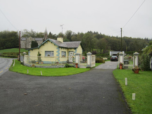 Newbliss Housegate lodge · 824 yd
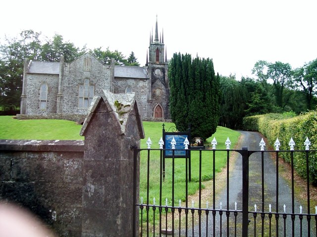 Newbliss Church (Killeevan)church/chapel · 844 yd
 LisaleaFairy fort / earthen ringfort · 1312 yd
 Common LimeCommon Lime · 1.9 mi
 Tomb HillMountain / peak · 2.0 mi
 KillycoonaghWood · 2.1 mi
 Saint John's WellSpring · 2.2 mi
 Roosky Castle (Site of)Castle, ringwork · 2.7 mi
 Lisarrilly HillMountain / peak · 2.9 mi
 Jaundice WellSpring · 3.7 mi
 Senator Billy Fox 1939 - 1974Memorial · 12 mi
Other information
Photo: Credit not shown in the picture search · Rights wording not checked; contact us if this picture should be removed