
What is recorded here
Situated in Killyfargy Lough, an oval lake (max. dims c. 430m NE-SW; c. 100m NW-SE) with both ends curving around to the SE, although it is now reduced to two pot lakes with the crannog in the swampy ground between them. The crannog is an overgrown circular mound (diam. 16m; H 1.5m over the water) but no structural features are evident.
The above description is derived from the published 'Archaeological Inventory of County Monaghan' (Dublin: Stationery Office, 1986). In certain instances the entries have been revised and updated in the light of recent research.
Revised by: Michael Moore
Date of revision: 4 May 2018
The monument record does not grant public access. Check the route and ask the landowner before entering private land.
- What survives
- Recorded monument
Places near here
 Old Forge WoodWood · 196 yd
 IndicatedFairy fort / earthen ringfort · 371 yd
 The Ash WoodWood · 373 yd
 Killfargy fortFairy fort / earthen ringfort · 545 yd
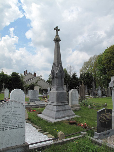 Scotshouse GraveyardGrave monument · 896 yd
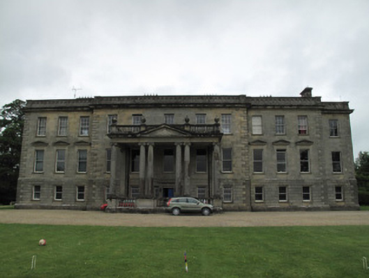 Hilton Parkcountry house · 947 yd
 LattacrossanMountain / peak · 1.7 mi
 SandhillsMountain / peak · 1.8 mi
 Ulster Canal Stores Visitor CentreHeritage attraction · 3.2 mi
 Abbey RuinsHeritage attraction · 3.3 mi
 Saint John's WellSpring · 4.1 mi
 Drumcarn Ho.Castle, unclassified · 4.3 mi
Other information
Photo: Credit not shown in the picture search · Rights wording not checked; contact us if this picture should be removed