What is recorded here
Depicted as a triangular feature on the 1836 edition of the OS 6-inch map and as a small circular copse on the 1908 edition. An enclosure (diam. c. 35m) defined by a single fosse feature, probably a demesne feature and non-archaeological, is visible as a cropmark on an aerial photograph (Bing 2013). (pers. comm. T. Condit).
Compiled by: David O’Connor
Date of upload: 1 November 2013
The monument record does not grant public access. Check the route and ask the landowner before entering private land.
- What survives
- Recorded monument
Places near here
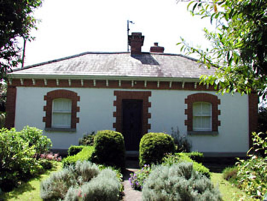 The Herd Cottageworker's house · 256 yd
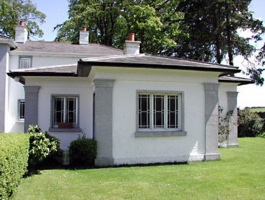 Hilltown Housegate lodge · 315 yd
 Enclosure in Hilltown LittleEnclosure · 687 yd
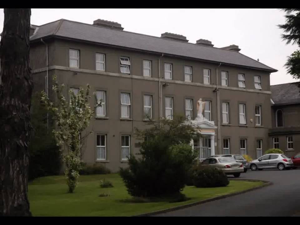 Enclosure in Beaumont (duleek Upper By.)Enclosure · 1511 yd
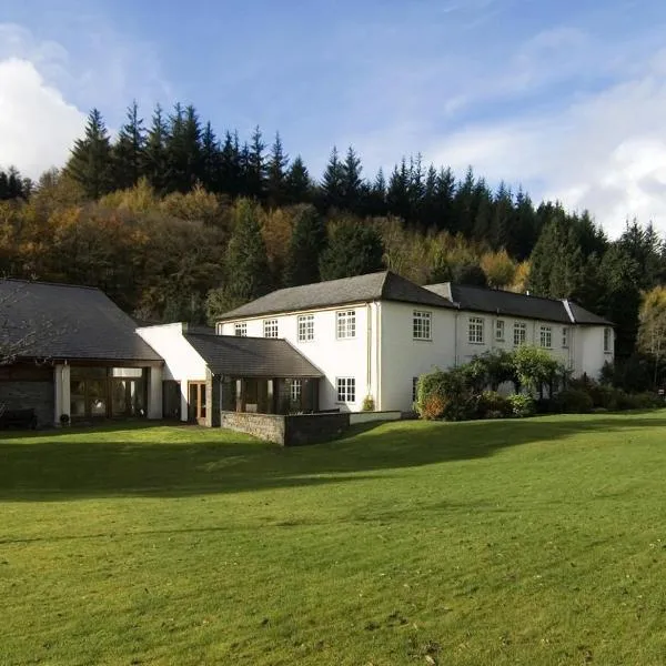 CastleCastle, ringwork · 1.0 mi
 Common LimeCommon Lime · 2.7 mi
 Platin HouseCastle, unclassified · 3.2 mi
 Battle of Julianstownbattle · 3.4 mi
 Tullog WoodForest · 3.6 mi
 Newgrange Business ParkMemorial · 4.0 mi
 Seamus Ennis Cultural CentreMemorial · 5.0 mi
 Brú na Bóinne Visitor Centre AccessHeritage attraction · 5.0 mi