
Places near here
Photo credits
- National Inventory of Architectural Heritage
- Mike Searle, Geograph · CC BY-SA 2.0
- Fran Mr Hollywood, Wikimedia Commons · CC BY-SA 2.0
- DeFacto, Wikimedia Commons · CC BY-SA 4.0
- User Ali-oops on en.wikipedia, Wikimedia Commons · GFDL
- Sheila1988, Wikimedia Commons · CC BY-SA 4.0
- Yosemite, Wikimedia Commons · CC BY-SA 3.0
- Jean-Pol GRANDMONT, Wikimedia Commons · CC BY 3.0
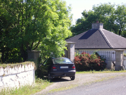 Hill CastleGates/railings/walls · 409 yd
Explorer Tom Hill Castle’s gate would tell its younger self to stop sweating about the house getting knocked down in 1960. It’s still standing here looking smug while the main estate is basically a memory. Keep your chin up, old timer!
Wind MillWindmill · 455 ydExplorer Tom Wind Mill in Ballykelsh has one least favorite visitor: the guy who keeps taking photos of his backside from behind the fence. It’s a ghost now, but I’m pretty sure it’s still rolling its eyes at every selfie stick. A good place to forget your phone for ten minutes.
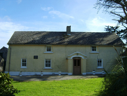 farm house1026 yd
Explorer Tom Farm house in Ballysampson is being judged by a colony of rabbits who think its mud walls are ugly. It’s got that battered silhouette look that honestly matches my hair after a windy day. Lend it your ear and you’ll hear the rabbits plotting to take over the garden for good.
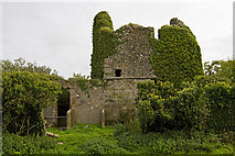 CastleCastle, tower house · 1.6 mi
Explorer Tom Castle in Ballyconor Big is sitting on level ground acting like it knows something big, but it’s just got a secret talent for confusing everyone who walks past it. The cows are the real locals here, so wave at them instead of staring at the stones. They’re way more interested in your lunch than you are.
Lady's IslandVisitor information · 2.1 miExplorer Tom Lady's Island saw a fox take charge once. It ran the whole place for a week, issuing orders to the birds like it was the mayor. It's the kind of place that makes a dull Tuesday interesting.
ScargeenIsland · 2.1 miExplorer Tom Scargeen has this secret talent for making you feel like you've forgotten your own name within seconds of looking at it. The mist rolls in, plays hide-and-seek with your sense of direction, and just laughs while you wander around confused. Bring a coin for luck and keep it in your pocket.
 Tacumshane WindmillVisitor attraction · 2.1 mi
Explorer Tom The most dramatic thing at Tacumshane Windmill was when a pigeon got stuck in the sails during a very serious thunderstorm. It wasn't a tragedy, just a very confused bird flapping around while the mill spun like crazy. Stand back, squint, and it looks like a castle having a bad hair day.
 Windmill (Corn) (Disused)Windmill · 2.2 mi
Explorer Tom Windmill (Corn) (Disused) in Fence has a curse that only hits people who forget to wave at it when they pass by. James Moran built it with Dutch pride, but it’s been stuck staring at the sky since the roof fell off. If it's closed, admire it from the road like a polite stalker.
 Carne BeachBeach / strand · 3.4 mi
Explorer Tom Carne Beach in County Wexford had a matchmaker who set up couples by throwing them into the water together. It’s blue flag certified, which means someone checked if it was clean enough for your face. Go now, before it gets famous.
 Irish Agricultural MuseumMuseum · 5.7 mi
Explorer Tom Irish Agricultural Museum has a tall tale about a hidden tunnel leading straight to the local pub, but every farmer I ask swears they haven’t seen it since 1974 or so. It’s packed with old tractors that look like they’re judging your farming techniques from behind dusty glass windows, which is both comforting and terrifying. It's free, it's odd, what more do you want?
 Japanese cedar5.8 mi
Explorer Tom Japanese cedar gave up sugar for Lent but somehow got fatter and more majestic anyway. It’s just standing there judging everyone who thinks they understand what a proper tree is. Stick around for the light changing, it's a show.
 American Sweetgum5.8 mi
More archaeology and monuments in County Wexford · All of County Wexford

What do you know about this place?Tap to add a comment or ask a question