What is recorded here
The following description is derived from the published 'Archaeological Inventory of County Meath' (Dublin: Stationery Office, 1987). In certain instances the entries have been revised and updated in the light of recent research.
Date of upload/revision: 10 July 2007
Natural rock outcrop to which earthen mantle has been added creating flat-topped mound with a flat-bottomed fosse at its base SE-WSW and accommodated by road W-E (diam. of top 12m, diam. of base c. 24m, H c. 4m).
The monument record does not grant public access. Check the route and ask the landowner before entering private land.
- What survives
- Recorded monument
Places near here
 Enclosure in Herbertstown (duleek Upper By.)Enclosure · 339 yd
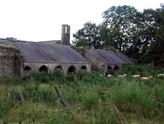 Herbertstown Housefarmyard complex · 709 yd
 Tullog WoodForest · 1512 yd
 Embanked enclosure in Fourknocks,micknanstown (duleek Upper By., Clonalvy Par.)Embanked enclosure · 1628 yd
 FourknocksPassage tomb · 1.3 mi
 Church in FowlerstownChurch · 1.6 mi
 Ballshill PlantingForest · 1.7 mi
 Naul Park HouseCastle, unclassified · 1.8 mi
 The story of the milk standMemorial · 1.9 mi
 Bawn in NaulBawn · 1.9 mi
 Seamus Ennis Cultural CentreMemorial · 2.0 mi
 Naul HillMountain / peak · 2.6 mi