What is recorded here
On break of a S-facing slope in undulating hilly terrain. Field under tillage. No visible trace of enclosure at ground level, though there are a lot of small stone visible in the immediate area. Monument appears to be depicted as an irregular depression or quarry on 1st (1840) ed. OS 6-inch map but as a circular…
Read the whole record
On break of a S-facing slope in undulating hilly terrain. Field under tillage. No visible trace of enclosure at ground level, though there are a lot of small stone visible in the immediate area. Monument appears to be depicted as an irregular depression or quarry on 1st (1840) ed. OS 6-inch map but as a circular enclosure on the 2nd (1901-05) ed. OS 6-inch map (diam. 32m on 25-inch OS map) and on aerial photograph(Air Corps V.312/3079/8). Historical information about a possible Man-made underground passage (TS078-019002-) in a 'fort' in Heathview may be referring to this enclosure (Keatinge 1958-9, 12). A field bank (Wth c. 2.5m; H 1.18m), heavily overgrown with brambles, runs roughly E-W c. 20m N of the monument, curving around the former enclosure and is possibly an outer bank. This bank may have been augmented with material from the destroyed enclosure. The Air Corps aerial photograph indicates this curve continuing W of the enclosure as a cropmark.
From the National Monuments Service (Archaeological Survey of Ireland) record TS078-019001
Places near here
Photo credits
- National Inventory of Architectural Heritage
- MPF, Wikimedia Commons · CC BY 2.5
- A.-K. D., Wikimedia Commons · CC BY-SA 4.0
- kevin higgins, Geograph · CC BY-SA 2.0
- Humphrey Bolton, Geograph · CC BY-SA 2.0
- Colin Park, Geograph · CC BY-SA 2.0
- Willow, Wikimedia Commons · CC BY 2.5
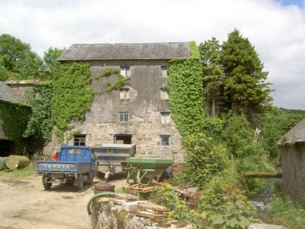 mill (water)1.1 mi
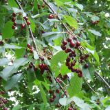 Wild Cherry1.3 mi
 Standing stone in BallinvirStanding stone · 1.5 mi
 Templemichael Grave YardGraveyard · 1.6 mi
 Whitehall BridgeBridge · 1.7 mi
 Bawn in KilcashBawn · 2.0 mi
 Kilcash Castle (in ruins)Castle, tower house · 2.0 mi
 SheegounaMountain / peak · 2.8 mi
 SlievenamonMountain / peak · 3.0 mi
 Knockroe Passage TombVisitor information · 4.0 mi
 Killamery High CrossVisitor information · 4.3 mi
 European ash4.6 mi
More archaeology and monuments in County Tipperary · All of County Tipperary

What do you know about this place?Tap to add a comment or ask a question