What is recorded here
Marked faintly as a circular enclosure (diam. c. 25m) in the SW angle of Stonerath Cross Roads on the 1839 ed. of the OS 6-inch map, and situated towards the S end of a broad N-S ridge. It is not visible at ground level in a private garden. Archaeological monitoring (15E0412) of a gas pipeline just to the N in Area 11 produced no related material (Sutton 2018; excavations.ie 2015:422).
The above description is derived from the published 'Archaeological Inventory of County Wexford' (Dublin: Stationery Office, 1996). In certain instances the entries have been revised and updated in the light of recent research.
Compiled by: Michael Moore
Date of upload: 19 February, 2013
Amended: 19 October 2020
The monument record does not grant public access. Check the route and ask the landowner before entering private land.
- What survives
- Recorded monument
Places near here
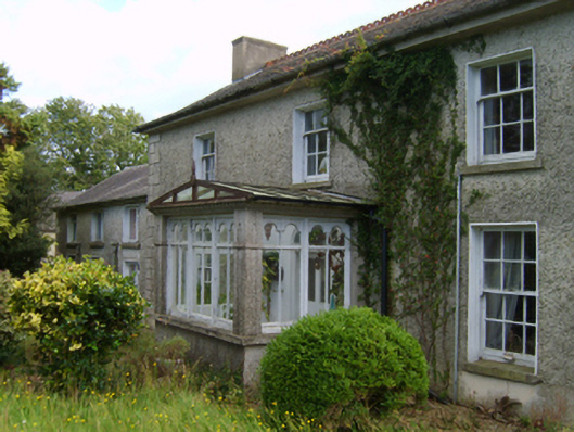 farm housefarm house · 374 yd
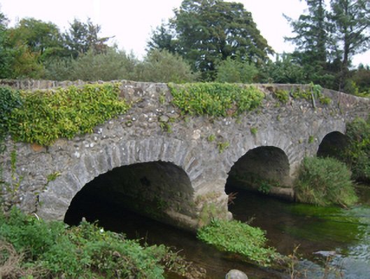 Goff's Bridgebridge · 875 yd
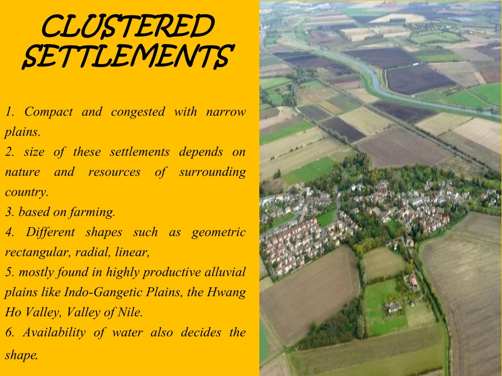 Settlement cluster in CoolcliffeSettlement cluster · 1353 yd
 Field system in RosspileField system · 1599 yd
 CastleCastle, tower house · 1.0 mi
 Bawn in Tracystown WestBawn · 1.6 mi
 Carrickbyrne HillMountain / peak · 4.5 mi
 Camaross HillMountain / peak · 5.0 mi
 Carrig-On-BannowVisitor information · 5.1 mi
 1798 MemorialMemorial · 5.1 mi
 Lockheed Hudson AM885 MemorialMemorial · 5.2 mi
 Cullenstown StrandBeach / strand · 6.6 mi