What is recorded here
Located on flat, low-lying ground c. 140m from the S shore of Lough Melvin and on the W side of an entrance lane. The church (LE005-003001-) is at the N side of a rectangular graveyard (dims c. 50m N-S; c. 20-25m E-W) defined by masonry walls. It contains two cross-slabs and a stone with two cup-marks. A new graveyard was commenced E of the lane before 2005 (OSAP). Archaeological testing (18E0055) S of the new graveyard reached subsoil, a grey sand / gravel (D 0.6-0.75m) without encountering archaeological features (Carey 2018), and further testing (19E0042) E of the church revealed a very disturbed area of re-deposited clays, silts and sand incorporating plastics (D 1.6-2.2m) over the gravel subsoil (Carey 2019). (See Excavations.ie: 2019:030)
Compiled by: Michael Moore
Date of upload: 7 January, 2016
Amended; 10 January 2020
The monument record does not grant public access. Check the route and ask the landowner before entering private land.
- What survives
- Recorded monument
Places near here
 Not indicateedHoly well · 210 yd
 Ross PointHeadland · 835 yd
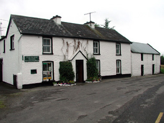 Rossinver Post Officehouse · 1238 yd
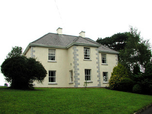 presbytery/parochial/curate's housepresbytery/parochial/curate's house · 1342 yd
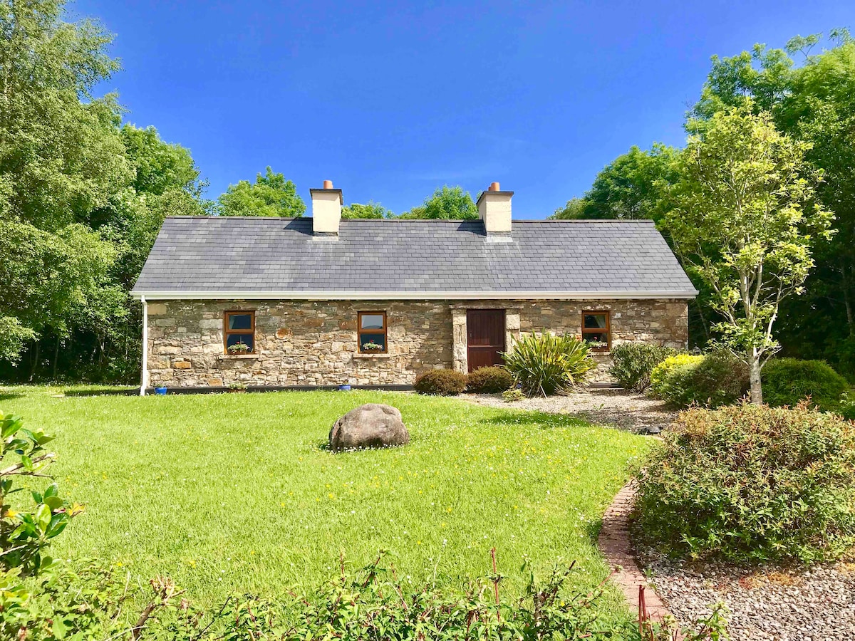 IndicatedFairy fort / ringfort · 1502 yd
 Giant's GraveArchaeological place · 1.0 mi
 Fowley's FallsPicnic place · 1.3 mi
 Sally IslandIslet · 2.0 mi
 Bilberry IslandIslet · 2.0 mi
 Saddle HillMountain / peak · 3.3 mi
 Conwal NorthMountain / peak · 3.4 mi
 Kilroosk RockNamed rock · 4.6 mi