What is recorded here
In improved pasture, on an elevated area of land, overlooking lower ground to NW. This monument is indicated as a rectangular area (dims. c. 46m NE-SW; c. 13.5m NW-SE) on the 1st (1840) 6-inch OS map and as a raised area on the 1904 ed., on both editions there is a field boundary running along the SW side and a road running along the SE side. It consists of a raised, rectangular area (dims. 34m NE-SW; 14m NW-SE), defined by scarp (max. Wth 3.7m; max. H 1.2m) to SW (L 15m), NW (L 32m) and NE (L 11m). The interior slopes gently downslope to the NE. Barry (1977, 203) describes this as a moated site with a 'Raised platform 1.75m above field level. No banks. Dry moat 2m-6.80m wide'. The Ordnance Survey ortho image suggests that the monument continues S of the road which transects it from NE-SW.
Compiled by: Jean Farrelly
Date of revised upload: 20 October 2015
The monument record does not grant public access. Check the route and ask the landowner before entering private land.
- What survives
- Recorded monument
Places near here
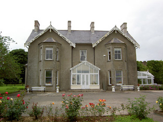 Grantstown Hallcountry house · 771 yd
 Enclosure in GrantstownEnclosure · 870 yd
 Grantstown CastleCastle · 914 yd
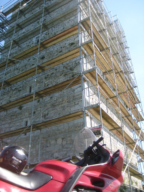 Grantstown Castle (in ruins)Castle, tower house · 917 yd
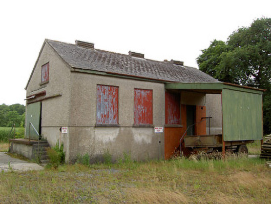 Grantstown Creamerycreamery · 1032 yd
 Rathvallygoney FortFairy fort / earthen ringfort · 1477 yd
 European ashEuropean ash · 2.5 mi
 Dundrum Woods (Marl Bog)Forest · 3.1 mi
 I.R.A. 3rd. Tipperary Brigade MemorialMemorial · 4.2 mi
 Soloheadbeg Ambushambush · 4.3 mi
 Soloheadbeg Ambush SiteMemorial · 4.4 mi
 It's a long way to TippereryHeritage attraction · 4.9 mi