What is recorded here
Shown on the 1837 OS 6-inch map as a circular area surrounded by bank, and on the 1939 edition as raised circular area (max diam. c. 40m).
Date of upload: 6 September 2016
A Neolithic passage tomb; significant as a possible early ceremonial or burial site, though its exact function and date remain unclear due to lack of archaeological investigation.
The monument record does not grant public access. Check the route and ask the landowner before entering private land.
- What survives
- Recorded monument
Places near here
 Glen WoodWood · 294 yd
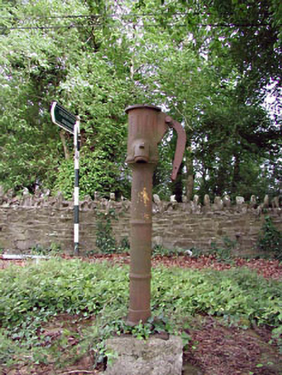 water pumpwater pump · 680 yd
 IndicatedFairy fort / earthen ringfort · 890 yd
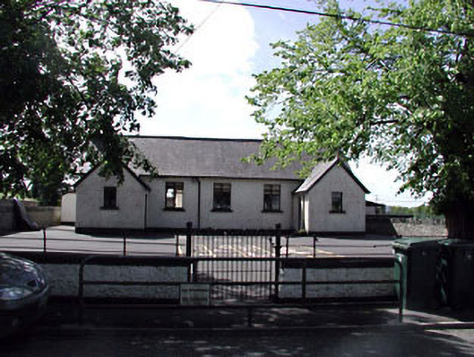 Brannockstown National Schoolschool · 1131 yd
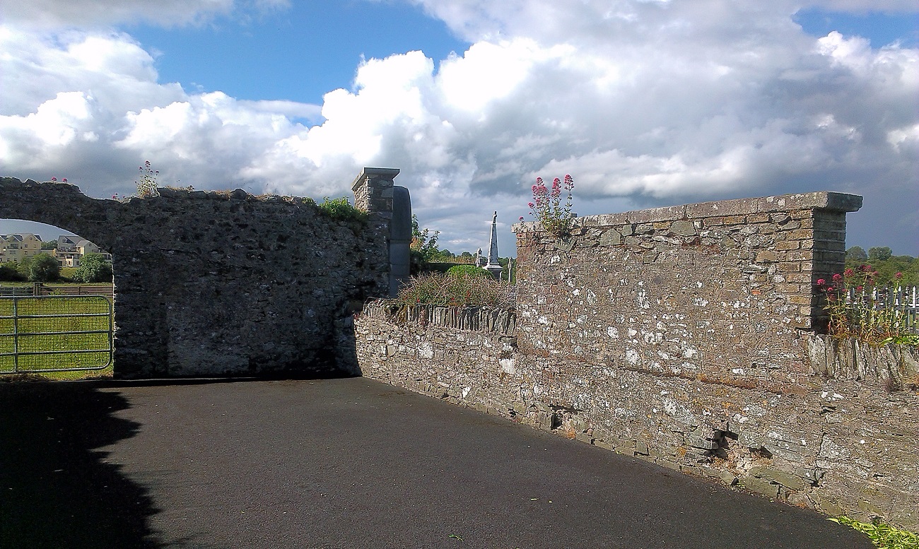 New Abbey WoodsWood · 1297 yd
 FontFont · 1482 yd
 1798 memorial stoneMonument · 1.3 mi
 Harristown CastleCastle, tower house · 1.8 mi
 Castlefish (in Ruins)Castle, unclassified · 2.6 mi
 Newbridge SilverwareMuseum · 4.9 mi
 Burial ground in CrehelpBurial ground · 5.0 mi
 Saint Kevin's CaveMemorial · 5.4 mi