What is recorded here
Indicated is a high mound in County Louth, Ireland, perhaps a glacial deposit rather than a built fort, though locals still call it a fort because it rises like one. Its top measures about 11.5m by 10.5m, with faint traces of a stone bank around the edge and a slight rise in the centre. That much is known; the rest is imagination. A person may have stood there in rain, looked out over flat land, and felt small enough to be honest. The mound does not need a legend to be memorable. It is high, it is marked, and it is still there.
The following description is derived from both the published 'Archaeological Inventory of County Louth' (Dublin: Stationery Office, 1986) and the 'Archaeological Survey of County Louth' (Dublin: Stationery Office, 1991). In certain instances the entries have been revised and updated in the light of recent research.
Date of upload/revision: 17 July 2007
High mound which may be glacial deposit. Traces of stone bank at perimeter of top (max. dims. 11.5m by 10.5m). Slight rise in centre. Locally known as a 'fort'. (OS Memoranda 6907 A, B)
The monument record does not grant public access. Check the route and ask the landowner before entering private land.
- What survives
- Recorded monument
Places near here
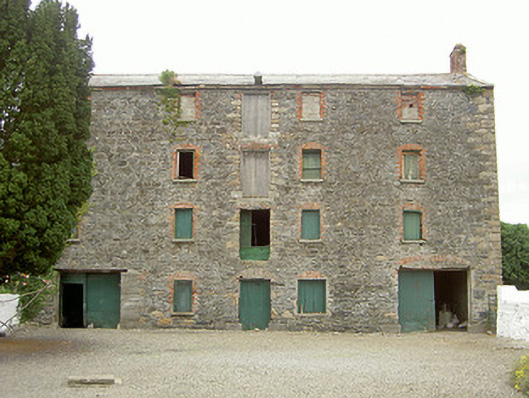 granarygranary · 622 yd
 Saint James's Catholic Churchchurch/chapel · 649 yd
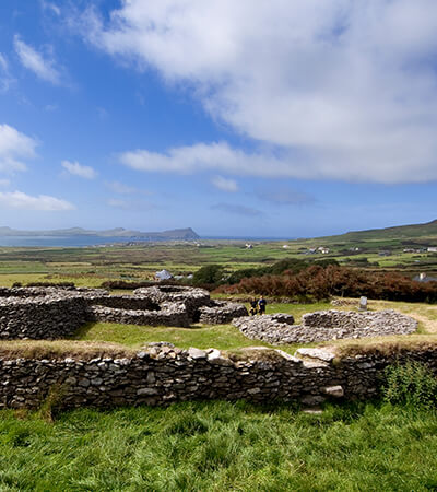 Fairy fort / earthen ringfort in MillgrangeFairy fort / earthen ringfort · 1309 yd
 Enclosure in Grange OldEnclosure · 1339 yd
 The BushPicnic place · 1.2 mi
 St James WellSpring · 1.3 mi
 Castle in RuinsCastle, unclassified · 1.3 mi
 Grange UpperMountain / peak · 1.3 mi
 Ballug CastleCastle · 1.5 mi
 BarnavaveMountain / peak · 1.8 mi
 Carlingford - Loop 1A- Commons LoopWalking route · 2.0 mi
 Graveyard in Liberties OF CarlingfordGraveyard · 2.1 mi