
What is recorded here
Indicated is a ruined fairy fort in Graigue Wood where a quarry bit through the west wall and ploughing erased the north edge. The surviving earthen arc still marks a thirty-metre circle on the east-facing slope, though moss and soil have swallowed most of its shape. It is the kind of place that stops being a home when people start taking its substance elsewhere.
In Graigue Wood, on E-facing slope. Indicated as roughly circular enclosure (diam. c. 30m) on 1842 OS 6-inch map; quarry shown as extending into SW quadrant of interior on 1934 OS 6-inch map. Arc (diam. c. 26m N-S) formed by earthen bank (int. H 0.4m; ext. H 0.9m) survives N->SSW; external fosse (D 0.2m) survives on S side. Bank heavily overgrown; disturbed on N side by deep ploughing. Quarry extending from W has destroyed much of interior.
The above description is derived from the published 'Archaeological Inventory of County Cork. Volume 4: North Cork' (Dublin: Stationery Office, 2000). In certain instances the entries have been revised and updated in the light of recent research.
Date of upload/revision: 14 January 2009
The monument record does not grant public access. Check the route and ask the landowner before entering private land.
- What survives
- Recorded monument
Places near here
 Kilworth WoodWood · 1002 yd
 Glansheskin Forest Recreation AreaVisitor information · 1124 yd
 Killally Househouse · 1134 yd
 Glansheskin WoodVisitor information · 1185 yd
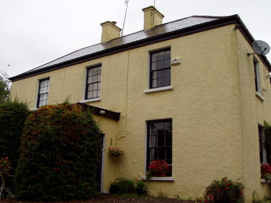 Knockbrack Househouse · 1464 yd
 Fulacht fia in GlansheskinFulacht fia · 1744 yd
 Enclosure in Ballynacarriga (condons and Clangibbon By.)Enclosure · 1.4 mi
 Macroney CastleCastle, tower house · 2.0 mi
 Ballyhindon Castle (in Ruins)Castle, unclassified · 2.1 mi
 FlagCave · 2.2 mi
 St Dominick's WellSpring · 4.9 mi
 Graveyard in BoherashGraveyard · 5.0 mi
Other information
Photo: Credit not shown in the picture search · Rights wording not checked; contact us if this picture should be removed