What is recorded here
A sub-circular enclosure, c. 35m diameter, visible on lidar imagery (https://dcenr.maps.arcgis.com). Information supplied by Colm Chambers.
Compiled by: Matt Kelleher
Date of upload: 8 May 2018
The monument record does not grant public access. Check the route and ask the landowner before entering private land.
- What survives
- Recorded monument
Places near here
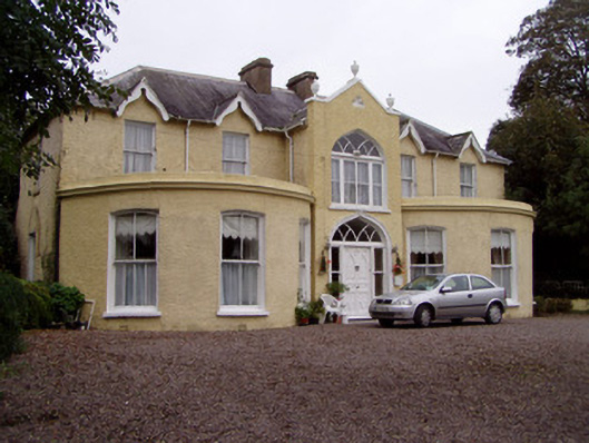 Rushmount Househouse · 225 yd
 Water millWater mill, horizontal-wheeled · 947 yd
 Man-made underground passage in Ballynacarriga (condons and Clangibbon By.)Man-made underground passage · 1119 yd
 Easter Sunday WellHoly well · 1184 yd
 Ballyhindon Castle (in Ruins)Castle, unclassified · 1373 yd
 Kilworth CastleCastle · 1.3 mi
 Glansheskin WoodVisitor information · 1.3 mi
 Glansheskin Forest Recreation AreaVisitor information · 1.4 mi
 Kilworth WoodWood · 1.5 mi
 FlagCave · 2.7 mi
 St Dominick's WellSpring · 3.8 mi
 Graveyard in BoherashGraveyard · 3.9 mi
Other information
Photo: Credit not shown in the picture search · Rights wording not checked; contact us if this picture should be removed