What is recorded here
In pasture, on gentle SW-facing slope, in area of outcropping limestone. Circular area (diam. 35m) enclosed by broad flat-topped stone bank (int. H 1m; ext. H 0.9m; Wth top 7.15m). Bank best preserved E->S, narrows along NW arc (Wth 4.7m). Ground immediately outside enclosure W->NNW has been cleared by mechanical digger and boulders dumped atop and at external base of bank at NNE and also at SE. No evident break or entrance in enclosing bank. Farm passage passes c. 10m away on W side of enclosure on line of removed field boundary. Interior, covered with nettles, with mature sycamore tree at centre.
Compiled by: Denis Power
Date of upload: 26 August 2011
The monument record does not grant public access. Check the route and ask the landowner before entering private land.
- What survives
- Recorded monument
Places near here
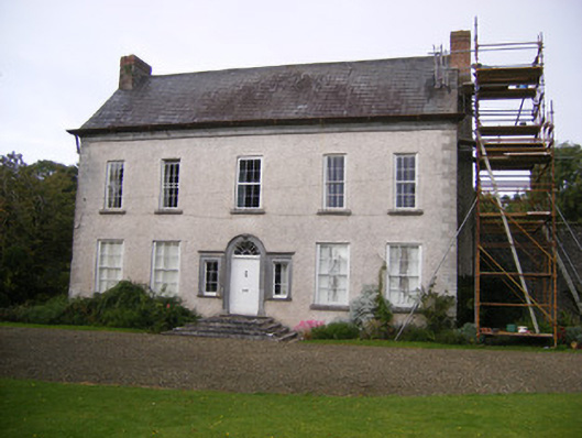 Stonevillecountry house, hunting/fishing lodge · 909 yd
 Bawn in StonevilleBawn · 969 yd
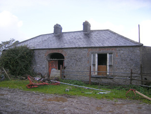 Wellmount Househouse · 982 yd
 Enclosure in BallingarraneEnclosure · 1020 yd
 St. James WellHoly well · 1023 yd
 Milltown Castle (in ruins)Castle, tower house · 1.7 mi
 TobernablahySpring · 2.5 mi
 Flat cemetery in CroaghFlat cemetery · 2.8 mi
 St. Kieran's WellSpring · 3.4 mi
 Askeaton CastleHeritage attraction · 3.6 mi
 Little HeavenHeritage attraction · 4.3 mi
 European ashEuropean ash · 4.4 mi