What is recorded here
Indicated is a circular earth and stone fort in West Cork, preserving a burial tradition beneath its pasture surface. The ring measures thirty-eight metres, holds a shallow northern ditch, and carries an east-west track through its centre. People may have walked that path for generations, past graves they believed still breathed. The fort does not demand belief, but it does demand attention.
In pasture, on NW-facing slope. Circular area (38m N-S; 37m E-W) enclosed by earth and stone bank (H 0.7m), with possible original stone facing to W; shallow external fosse to N. Trackway, running E-W, cuts across N half of interior. Local tradition of burial ground (CO134-062001-) in interior.
The above description is derived from the published 'Archaeological Inventory of County Cork. Volume 1: West Cork' (Dublin: Stationery Office, 1992). In certain instances the entries have been revised and updated in the light of recent research.
Date of upload/revision: 14 January 2009
The monument record does not grant public access. Check the route and ask the landowner before entering private land.
- What survives
- Recorded monument
Places near here
 Burial ground in Gortroe (carbery E. (w.d) By., Kilmacabea Par.)Burial ground · 1 yd
 AltarMegalithic structure · 389 yd
 Connonagh Househouse · 729 yd
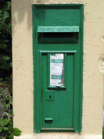 post boxpost box · 749 yd
 William Thompson MemorialMemorial · 880 yd
 Castle SalemCastle · 1.7 mi
 CarrigfaddaMountain / peak · 2.3 mi
 Jeremiah O'Donovan RossaMemorial · 2.3 mi
 Walk 1 - Drombeg Standing Stone Circle (7 - 9 km)Walking route · 2.5 mi
 Leap waterfallHeritage attraction · 2.6 mi
 Drombeg Stone CircleArchaeological place · 2.6 mi
 Drombeg Fulacht Fia and RuinsVisitor information · 2.6 mi