What is recorded here
On a SW-facing slope of rising ground in upland area under grass. Good views in all directions. Located on the edge of a ravine which forms the enclosing element to the moated site from SE to S, nearby moated site (TS049-029----) 150m to NW. Monument consists of a square-shaped area (dims. 31m NW-SE x 23m NE-SW) enclosed by an earth and stone bank (top Wth 1.3m; base Wth 2.5m; int. H 0.5m; ext. H 1.5m) and wet waterlogged flat-bottomed outer fosse (top Wth 5m; base Wth 3.6m; ext. D 1m) both of which are not present on the ravine side from SE to S. Cattle gap (Wth 2m) in centre of SE bank, cattle gap in bank at E corner of bank and N corner of bank. No clear entrance feature visible. Agricultural roadway has recently been constructed to the N of the monument.
Compiled by: Jean Farrelly
Date of upload: 26 August 2011
The monument record does not grant public access. Check the route and ask the landowner before entering private land.
- What survives
- Recorded monument
Places near here
 IndicatedEnclosure · 754 yd
 The Warhousehouse · 894 yd
 Warhouse HillMountain / peak · 927 yd
 Fulacht fia in BolintleaFulacht fia · 1158 yd
 Farranrory CastleCastle · 1605 yd
 Slieveardagh Househouse · 1693 yd
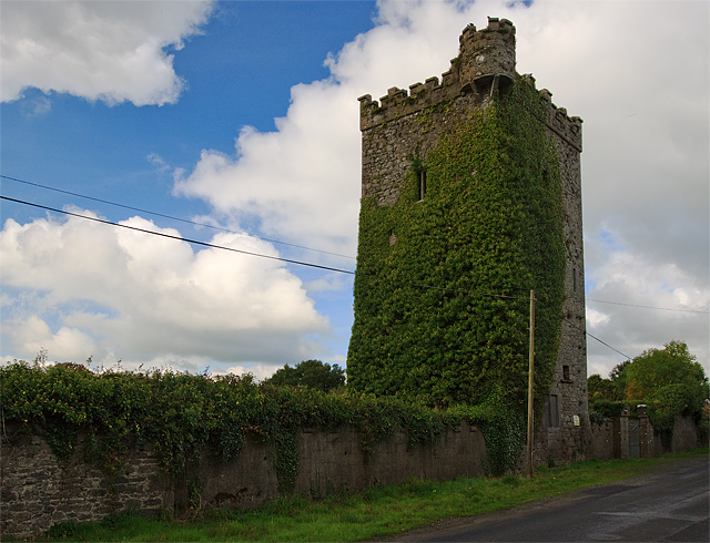 Site of Williamstown CastleCastle, unclassified · 1.8 mi
 Top Field at Carey'sForest · 2.1 mi
 Second Field on the HillForest · 2.2 mi
 Bregaun HillMountain / peak · 2.5 mi
 Kilcooly AbbeyHeritage attraction · 4.2 mi
 Derrynaflan TrailHeritage attraction · 7.1 mi