
What is recorded here
On flat grassland in upland area at edge of shallow river valley overlooking river to W, good views in all directions. Barely visible outline of a large circular enclosure (diam. 80m N-S; 81m E-W) defined by a slight bank which has been mainly reduced to a scarp (H 0.4m) and possible shallow outer fosse (Wth 3.5m; ext. D 0.1m) best visible at NE. The scarp and fosse appears to run onto the edge of a slight fall in ground down to the river along the W edge of the enclosure. Depicted on the 1st (1840) ed. OS 6-inch map as a large semi-circular enclosure.
Compiled by: Jean Farrelly
Date of upload: 26 August 2011
A local fairy fort (ringfort/rath); wider significance not recorded.
The monument record does not grant public access. Check the route and ask the landowner before entering private land.
- What survives
- Recorded monument
Places near here
 Slieveardagh Househouse · 1032 yd
 Fulacht fia in BolintleaFulacht fia · 1078 yd
 The Warhousehouse · 1370 yd
 Warhouse HillMountain / peak · 1441 yd
 Farranrory CastleCastle · 1.3 mi
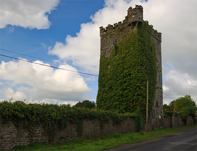 Site of Williamstown CastleCastle, unclassified · 1.5 mi
 Enclosure in Farranrory LowerEnclosure · 1.8 mi
 Bregaun HillMountain / peak · 2.1 mi
 Top Field at Carey'sForest · 2.5 mi
 Second Field on the HillForest · 2.6 mi
 Kilcooly AbbeyHeritage attraction · 3.9 mi
 Derrynaflan TrailHeritage attraction · 6.7 mi
Other information
Photo: Credit not shown in the picture search · Rights wording not checked; contact us if this picture should be removed