What is recorded here
In level pasture, 240m NE is ringfort (MA121-071----). Circular area (38m N-S; 40m E-W), enclosed by poor remains of low earthen bank (H 0.3m), levelled E to NW. Stone field boundary wall delimits site on N.
The above description has been derived from D. Lavelle (compiler), An Archaeological Survey of Ballinrobe and District including Lough Mask and Lough Carra. Lough Mask and Lough Carra Tourist Development Association (1994), No. 459D.
Date of upload: 5 January 2015
A local fairy fort (ringfort/rath); wider significance not recorded.
The monument record does not grant public access. Check the route and ask the landowner before entering private land.
- What survives
- Recorded monument
Places near here
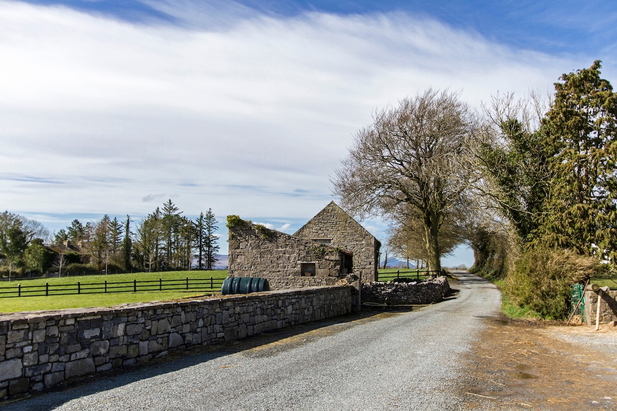 Enclosure in Hundred AcresEnclosure · 334 yd
 Enclosure in FountainhillEnclosure · 784 yd
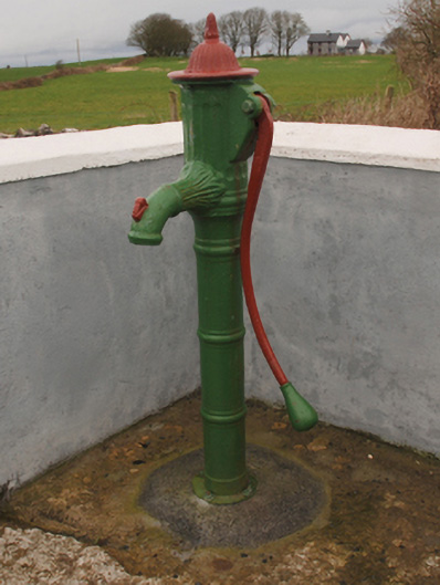 water pumpwater pump · 997 yd
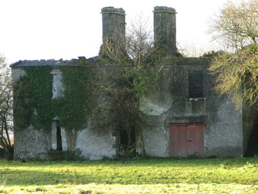 Fountainhillfarm house · 1329 yd
 Bawn in Cregduff (kilmaine By., Kilmainemore Par.)Bawn · 1.0 mi
 Bawn in Kilkeeran (kilmaine By., Kilmainebeg Par.)Bawn · 1.5 mi
 Cregg PlantationForest · 2.3 mi
 Pesooge PlantationForest · 2.8 mi
 Gibbs IslandsIslet · 4.7 mi
 Red Island RockIslet · 5.4 mi
 School of FalconryHeritage attraction · 6.8 mi
 Ard na GaoitheHeritage attraction · 7.5 mi