What is recorded here
Indicated was a designed landscape feature in County Galway, marked as a small irregular field in 1838 and an enclosed mixed tree plantation in 1920. It measured roughly 39m NW-SE and 33m NE-SW, sitting in undulating pastureland about 400m west of Danesfort House. No visible surface trace survives, but the cartographic evidence suggests it belonged to the house, perhaps a private garden or shade walk now erased by pasture and time.
In undulating pastureland. Marked on the 1838 edition of the OS 6-inch map as a small irregular field and on the 1920 edition as an enclosed mixed tree plantation (c. 39m NW-SE; c. 33m NE-SW). No visible surface trace survives. The cartographic evidence suggest that this was a landscape feature associated with Danesfort House which is c. 400m to the E.
Compiled by: Galway Archaeological Survey, UCG
Date of upload: 11 March 2019
The monument record does not grant public access. Check the route and ask the landowner before entering private land.
- What survives
- Recorded monument
Places near here
 Ladys WellHoly well · 797 yd
 Ballycorban Ho.House, 18th/19th century · 797 yd
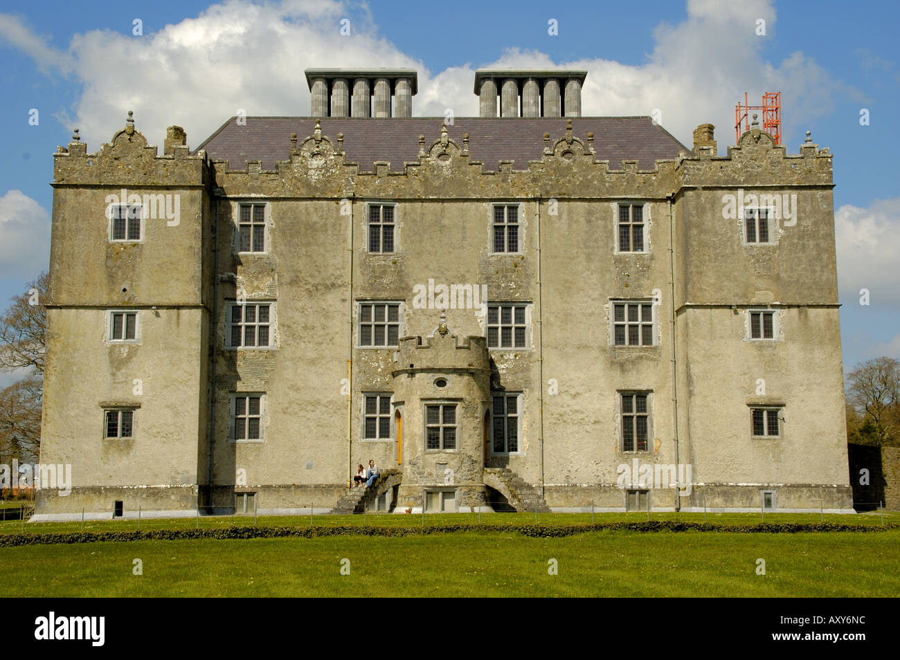 Enclosure in Cappaghcon EastEnclosure · 865 yd
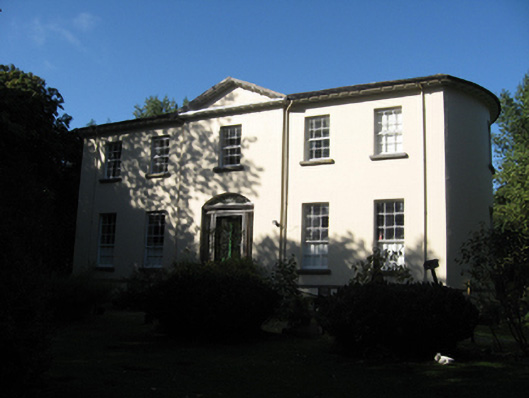 Ballynagar Housecountry house · 935 yd
 Coolfin Castle (in ruins)Castle, tower house · 2.6 mi
 Site of CastleCastle, unclassified · 3.4 mi
 Oak WoodForest · 4.1 mi
 Bog WoodForest · 4.4 mi
 TullymoreMountain / peak · 4.8 mi
 Friar's IslandIslet · 5.6 mi
 Abbey IslandIslet · 5.7 mi
 Stonyisland BayBay · 6.0 mi