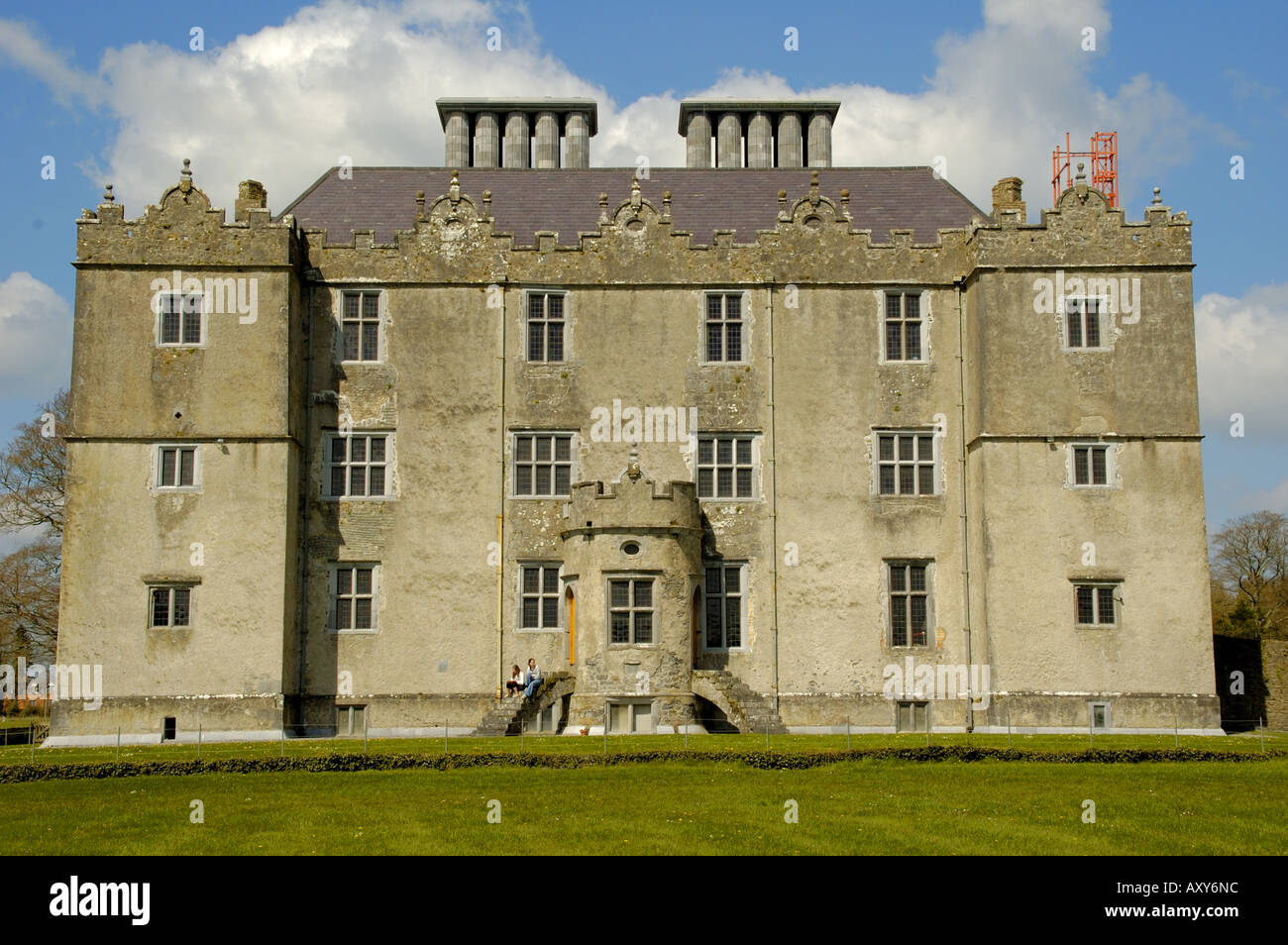
What is recorded here
On a gentle E-facing slope in pastureland. Very poorly preserved subcircular enclosure (c. 58m N-S; c. 52m E-W) defined by a scarp from WSW through N to ENE. A field wall cuts across the monument from WSW to ENE and to the SE of it the former line of the enclosing element is indicated by a darker band of vegetation .
Compiled by: Galway Archaeological Survey, UCG
Date of upload: 18 February 2019
A local fairy fort (ringfort/rath); wider significance not recorded.
The monument record does not grant public access. Check the route and ask the landowner before entering private land.
- What survives
- Recorded monument
Places near here
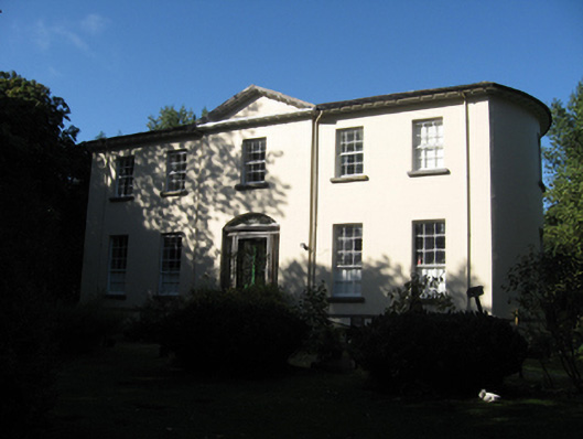 Ballynagar Housecountry house · 828 yd
 Country house in BallynagarCountry house · 841 yd
 Ladys WellHoly well · 884 yd
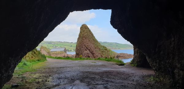 CavesMan-made underground passage · 1.1 mi
 Coolfin Castle (in ruins)Castle, tower house · 2.3 mi
 Site of CastleCastle, unclassified · 3.4 mi
 Oak WoodForest · 4.0 mi
 Bog WoodForest · 4.3 mi
 TullymoreMountain / peak · 4.6 mi
 Friar's IslandIslet · 5.2 mi
 Abbey IslandIslet · 5.2 mi
 Stonyisland BayBay · 5.5 mi
Other information
Photo: Credit not shown in the picture search · Rights wording not checked; contact us if this picture should be removed