
What is recorded here
From the National Monuments Service (Archaeological Survey of Ireland) record RO032-030
Places near here
Photo credits
- Maker not stated on source page, tr.pinterest.com
- Maker not stated on source page, www.airbnb.ru
- Maker not stated on source page, en.wikipedia.org
- National Inventory of Architectural Heritage
- Maker not stated on source page, www.pinterest.com
- Maker not stated on source page, cl.pinterest.com
- Maker not stated on source page, commons.wikimedia.org
- James Killeen / Mayo Football Talk, www.mft.ie
- GAA (publisher); individual photographer not identified in image caption, www.gaa.ie
- dougf, Geograph · CC BY-SA 2.0
 Fairy fort / earthen ringfort in Moigh UpperFairy fort / earthen ringfort · 1.5 mi
Explorer Tom Fairy fort / earthen ringfort in Moigh Upper is basically a circle of dirt that thinks it’s royalty. If Saint Patrick…
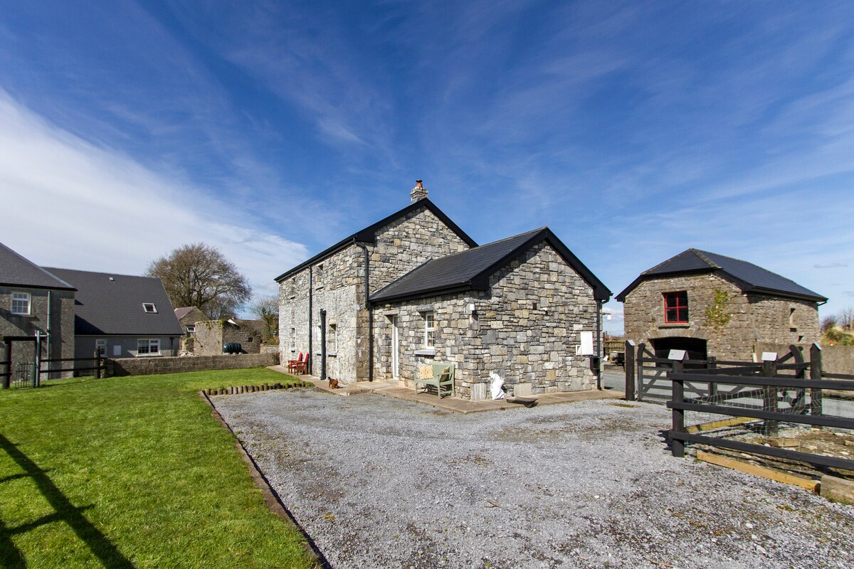 Standing stone in Ballyglass MiddleStanding stone · 1.7 mi
Explorer Tom Standing stone in Ballyglass Middle took exactly forty cups of tea to build. The builders stopped frequently, which…
 Cursing stone in KiltullaghCursing stone · 1.8 mi
Explorer Tom Cursing stone in Kiltullagh is based on a legend that two round stones were once here on priest graves, but now there’s…
 Wedge tomb in CastlequarterWedge tomb · 1.9 mi
Explorer Tom The wedge tomb in Castlequarter has a few rabbits living on top who think they own the place, and honestly, I'm not…
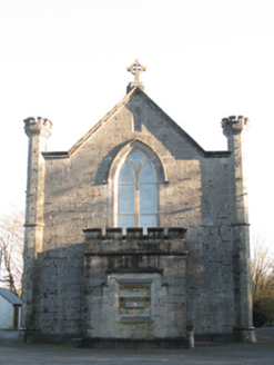 Saint Mary's Catholic ChurchChurch/chapel · 2.0 mi
Explorer Tom Saint Mary's Catholic Church in Lugboy Demesne has a treasure hidden inside, which is definitely just a biscuit tin…
 CastleCastle, unclassified · 2.0 mi
Explorer Tom Castle in Cottage would describe itself as a 'mysterious excavation' to any stranger who walks by. Knox marked it with…
 Church in Cottage (costello By.)Church · 2.0 mi
Explorer Tom Church in Cottage is holding a fake world record for 'Most Likely Church to Be Nowhere Near Where You Think It Is.' The…
 Graveyard in ChurchparkGraveyard · 4.3 mi
Explorer Tom Graveyard in Churchpark rates every visitor’s outfit from one to ten based on how muddy their boots get. It’s a strict…
 Ballyhaunis GAA ParkGAA ground · 4.9 mi
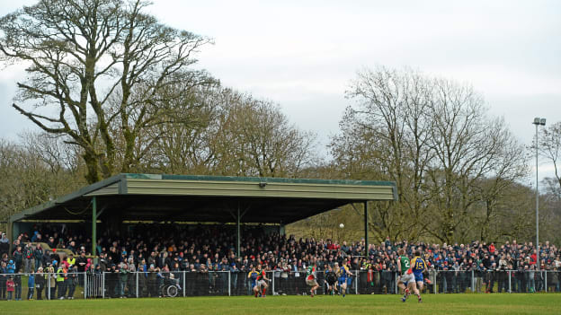 Peadar Earley Memorial Park, Michael Glaveys GAA, BallinloughGAA ground · 5.8 mi
 Graveyard in CarginGraveyard · 24 mi
Explorer Tom Cargin hosted a dance that went so far, even the ghosts are embarrassed about it now. The headstones are late…
 Castle (in ruins)Castle, hall-house · 25 mi
Explorer Tom Castle in Cargin is a hall-house that had a major makeover in '70. It's basically a 13th-century body in a modern suit.…
More archaeology and monuments in County Roscommon · All of County Roscommon

What do you know about this place?Tap to add a comment or ask a question