What is recorded here
A hachured area marked on the 1930 edition of the OS 6-inch map proved on inspection in 1984 to be a disused quarry pit.
Compiled by: Olive Alcock
Date of upload: 7 July 2014
The monument record does not grant public access. Check the route and ask the landowner before entering private land.
- What survives
- Recorded monument
Places near here
 Rook HillMountain / peak · 516 yd
 Enclosure in CastletogherEnclosure · 1403 yd
 Castle (in ruins)Castle, unclassified · 1527 yd
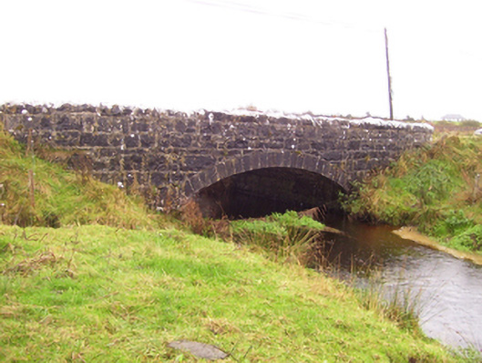 Blacker's Bridgebridge · 1532 yd
 Church in ruinsChurch · 1534 yd
 St. Patricks ShrineShrine · 1622 yd
 CastleCastle, unclassified · 1.6 mi
 Site of Killomaine Grave YardArchaeological place · 3.7 mi
 HawthornHawthorn · 8.1 mi
 Mount MaryMountain / peak · 8.5 mi
 Sally IslandIslet · 11 mi
 Aughrane WoodsForest · 12 mi