
What is recorded here
On a low hill in grassland. Subcircular cashel (c. 38m NW-SE; c. 30m NE-SW), in fair condition,
defined by a collapsed grassed-over drystone wall best preserved at NW. The enclosing element is obscured by overgrowth and a later field boundary overlies it at NE.
Compiled by: Galway Archaeological Survey, UCG
Date of upload: 3 January 2018
The monument record does not grant public access. Check the route and ask the landowner before entering private land.
- What survives
- Recorded monument
Places near here
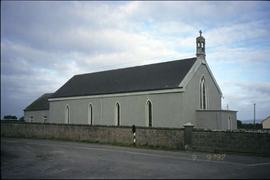 Saint Michael's Catholic Churchchurch/chapel · 1414 yd
 Tubber Railway Stationrailway station · 1.0 mi
 Enclosure in CarrowcraheenEnclosure · 1.1 mi
 Tobereendoney Holy WellHoly well · 1.2 mi
 Bawn in DerryowenBawn · 1.9 mi
 Fiddaun Castle (in ruins)Castle, tower house · 2.0 mi
 Mulkere MemorialMemorial · 3.0 mi
 Swan IslandIsland · 4.3 mi
 Kilmacduagh MonasteryHeritage attraction · 4.6 mi
 Kilmacduagh Monastic SiteVisitor information · 4.7 mi
 Apple IslandWood · 4.8 mi
 Keaghery IslandWood · 5.1 mi
Other information
Photo: Credit not shown in the picture search · Rights wording not checked; contact us if this picture should be removed