What is recorded here
In pasture, on gentle S-facing slope down to river valley. Monument, depicted on 1923 OS 6-inch map as circular enclosure (diam. c. 15m), has been levelled. No trace of monument evident when inspected. Record of enclosure before removal described it as circular area (diam. 15m), overgrown with mature trees and bushes, enclosed by earthen bank (Wth. 2m; H 1m) with poorly-drained interior at same level as surrounding terrain, and concluded that it was tree-ring in demesne of Glenville House (OPW top. files).
Compiled by: Denis Power
Date of upload: 26 August 2011
The monument record does not grant public access. Check the route and ask the landowner before entering private land.
- What survives
- Recorded monument
Places near here
 IndicatedFairy fort / earthen ringfort · 227 yd
 Burial in Ballyegny Beg,ballyneety (shanid By.)Burial · 452 yd
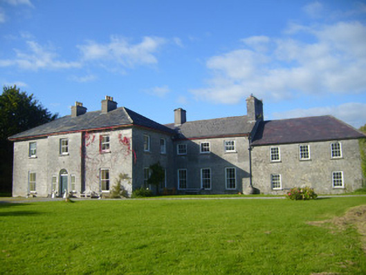 Glenville Housecountry house · 559 yd
 CahermoyleCastle, unclassified · 706 yd
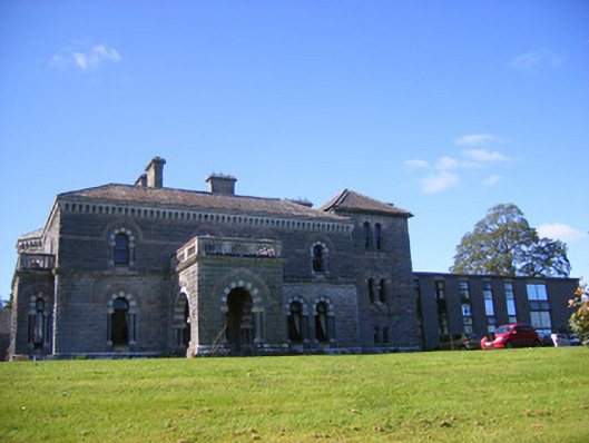 Cahermoyle Housecountry house, church/chapel · 889 yd
 St. Luke's WellSpring · 1161 yd
 Castle (in ruins)Castle, tower house · 1.5 mi
 St. Kieran's WellSpring · 2.3 mi
 European ashEuropean ash · 4.4 mi
 Limerick GreenwayWalking route · 4.9 mi
 Sugar HillMountain / peak · 6.5 mi
 Monterey CypressMonterey Cypress · 8.0 mi