What is recorded here
From the National Monuments Service (Archaeological Survey of Ireland) record WA011-008
The monument record does not grant public access. Check the route and ask the landowner before entering private land.
- What survives
- Recorded monument
Places near here
 KnocknaloughaMountain / peak · 1239 yd
 The VeeViewpoint · 1.4 mi
 KnockmoylanMountain / peak · 1.7 mi
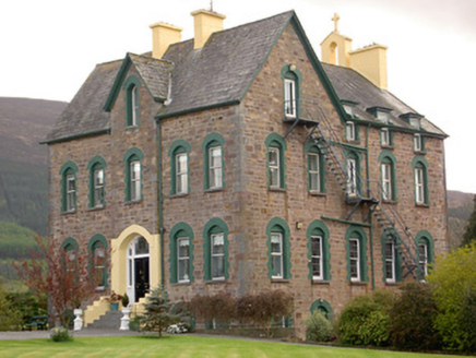 The Old ConventConvent/nunnery · 2.6 mi
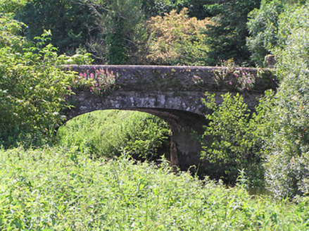 Castlegrace BridgeBridge · 2.7 mi
 Castle Grace (in ruins)Castle, Anglo-Norman masonry castle · 2.7 mi
 Liam Lynch MonumentMonument · 4.2 mi
 Sweet Chestnut5.1 mi
 Shanbally CastleCastle · 5.2 mi
 Mitchelstown CaveCave · 7.8 mi
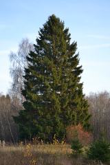 Norway Spruce8.6 mi
 Lough CurraWalking route · 14 mi
Pictures: Colin Park, Geograph · CC BY-SA 2.0; Hywel Williams, Geograph · CC BY-SA 2.0; kevin higgins, Geograph · CC BY-SA 2.0; National Inventory of Architectural Heritage; Mike Searle, Geograph · CC BY-SA 2.0; Alexander Redfern, Wikimedia Commons · CC BY-SA 4.0; Miguel Angel Masegosa Martínez, Wikimedia Commons · CC BY 2.0; A copy of this photograph is owned by National Library of Ireland and can be viewed here [1], Wikimedia Commons · Public domain; Martin Richard Phelan, Wikimedia Commons · CC BY-SA 2.0; Ivar Leidus, Wikimedia Commons · CC BY-SA 3.0 ee
More archaeology and monuments in County Waterford · All of County Waterford
What do you know about this place?