
What is recorded here
Annotated 'Lime Kiln (Disused) on 1897 ed. OSi 25 inch map. Hachured earthwork depicted on Cassini ed. OSi 6-inch map represents the collapsed remains of the lime-kiln depicted at this location on 1840 ed. OSi 6-inch map. Grass covered mound of collapsed kiln visible on Digital Globe orthophoto taken between 2011-13
Compiled by: Caimin O'Brien
Date of upload: 26 October 2021
The monument record does not grant public access. Check the route and ask the landowner before entering private land.
- What survives
- Recorded monument
Places near here
 Fulacht fia in Quitrent MountainFulacht fia · 1436 yd
 Coolfree MountainMountain / peak · 1520 yd
 Cist in GlenosheenCist · 1.5 mi
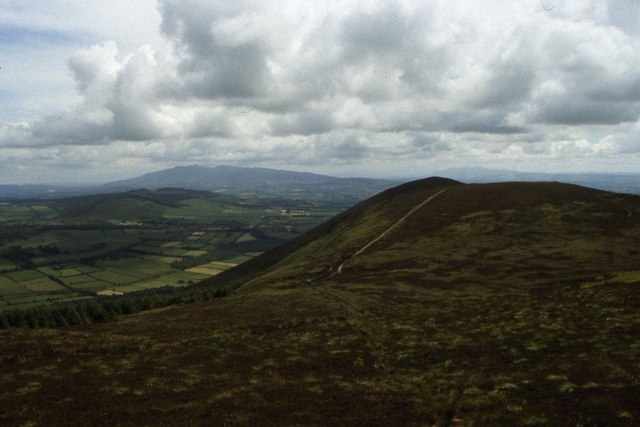 Seefin Mountain East TopMountain / peak · 1.5 mi
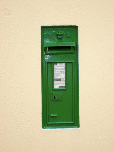 post boxpost box · 1.6 mi
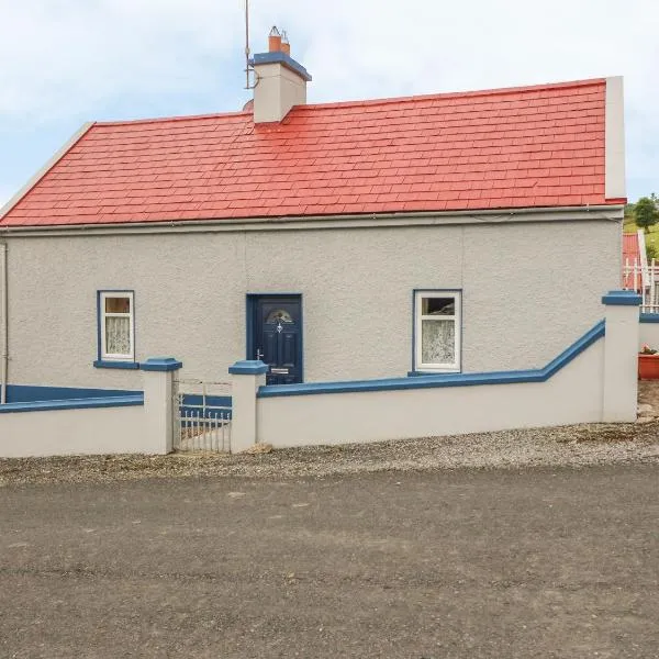
 worker's houseworker's house · 1.7 mi
 ToberpatrickSpring · 2.2 mi
 North Meadow WoodForest · 3.2 mi
 Horse Field WoodForest · 3.3 mi
 Site of CastleCastle, unclassified · 3.5 mi
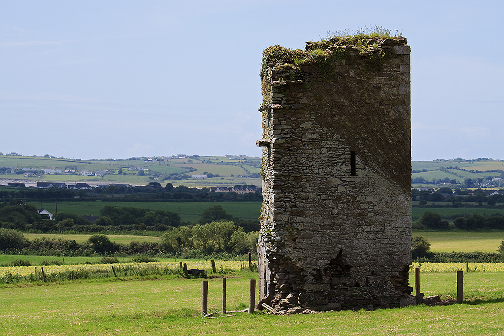 Farahy Castle (in Ruins)Castle, unclassified · 3.6 mi
 Ballyhoura tourist informationVisitor information · 4.8 mi
Other information
Photo: Credit not shown in the picture search · Rights wording not checked; contact us if this picture should be removed