What is recorded here
Located on the E facing slope of high ground in mountainous area. Circular area (diam 24m) enclosed by a low narrow earthen bank and deep V-shaped fosse with no evidence of entrance feature. The interior of the site slopes from W to E. There are three other enclosures of equal size and shape nearby. The fifth egg shaped enclosure was recently destroyed by Coillte during road construction. These enclosures were not marked on the first two editions of the OS 6-inch maps and are not depicted as antiquities on the 1912 edition. This fact along with their unusual form and location and perfect state of preservation would suggest that these are possibly landscape features or tree rings of no archaeological significance. One of a group of five (OF039-015/001/003/004/005-).
The above description is derived from the published 'Archaeological Inventory of County Offaly' (Dublin: Stationery Office, 1997). In certain instances the entries have been revised and updated in the light of recent research.
Date of upload: 23 May 2011
The monument record does not grant public access. Check the route and ask the landowner before entering private land.
- What survives
- Recorded monument
Places near here
 Cumber HillMountain / peak · 1176 yd
 IndicatedHillfort · 1189 yd
 Holy well in Cumber UpperHoly well · 1548 yd
 Tulla Castle (site of)Archaeological place · 1756 yd
 Site of Tulla CastleCastle, unclassified · 1.0 mi
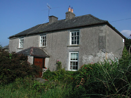 Tulla Housefarm house · 1.0 mi
 Broom HillMountain / peak · 1.1 mi
 Kinnitty ForestForest · 1.2 mi
 Saint Dominick's WellSpring · 1.4 mi
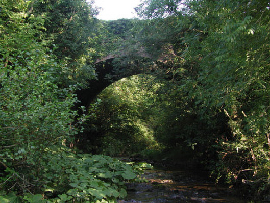 Aghagurty Bridgebridge · 1.7 mi
 Derrykeel WoodWood · 2.5 mi
 Kinnitty Castle LoopWalking route · 2.6 mi