What is recorded here
Located on the E facing slope of rising ground in mountainous region. One of a group of five circular enclosures (OF039-015001/002/003/004-) that are indicated on the current edition of the OS 6-inch map. Not indicated on the first two editions of the 6-inch map. These enclosures are not indicated as an antiquity and may be landscape features of post-1700 AD date. Present site consists of a circular enclosure (diam. 24m) enclosed by a low earthen bank and deep outer fosse which has a V-shaped profile with no evidence of any entrance feature. The interior of the site slopes from W to E. Four of these enclosures still survive intact with the fifth one destroyed by a modern forestry road. The four surviving enclosures are located in modern forrestry and are now inaccesible.
The above description is derived from the published 'Archaeological Inventory of County Offaly' (Dublin: Stationery Office, 1997). In certain instances the entries have been revised and updated in the light of recent research.
Date of upload: 23 May 2011
The monument record does not grant public access. Check the route and ask the landowner before entering private land.
- What survives
- Recorded monument
Places near here
 Cumber HillMountain / peak · 1220 yd
 IndicatedHillfort · 1235 yd
 Holy well in Cumber UpperHoly well · 1381 yd
 Broom HillMountain / peak · 1.0 mi
 Kinnitty ForestForest · 1.1 mi
 Tulla Castle (site of)Archaeological place · 1.1 mi
 Site of Tulla CastleCastle, unclassified · 1.1 mi
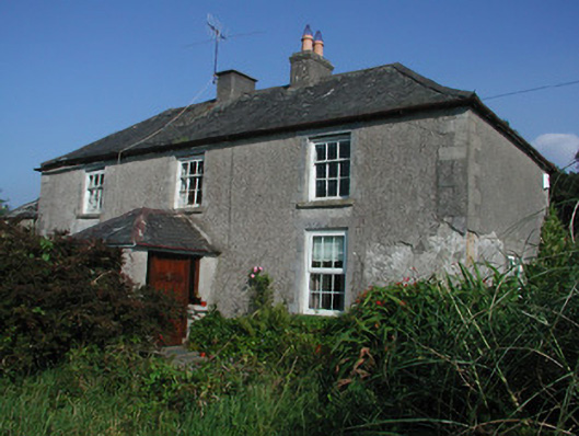 Tulla Housefarm house · 1.1 mi
 Saint Dominick's WellSpring · 1.5 mi
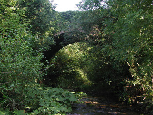 Aghagurty Bridgebridge · 1.8 mi
 Kinnitty Castle LoopWalking route · 2.5 mi
 Waypoint 1Visitor information · 2.5 mi