What is recorded here
Not shown on the 1837 edition of the OS 6-inch map. At the base of localised hollow, on slight S-facing slope, in undulating boggy mountain pasture. Views are excellent to S but elsewhere much obscured by higher ground. Remains comprise a rectangular hut or house (dims. 4m NNW-SSE; 3m ENE-WSW) defined by wall footings (max H 0.2m; T 0.6m). There is no definite break to indicate the position of the doorway. The site is constructed against the ENE side of a now relic NNW-SSE orientated field wall. This is a post-1700 AD monument.
Compiled by: Patrick F. O'Donovan
Date of upload: 02 August 2012
The monument record does not grant public access. Check the route and ask the landowner before entering private land.
- What survives
- Recorded monument
Places near here
 Gleniff Barytes MineRuins · 1192 yd
 Noble 6 MonumentMonument · 1.1 mi
 Glencar Lough ViewpointViewpoint · 1.1 mi
 Annacoona TopMountain / peak · 1.3 mi
 Kings MountainMountain / peak · 1.4 mi
 Enclosure in LislahellyEnclosure · 1.5 mi
 Dermot & Grania's BedCave · 1.8 mi
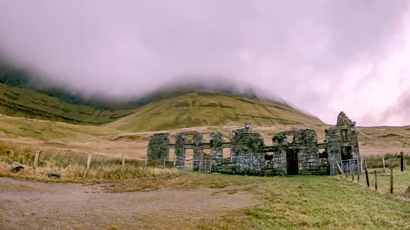 Gleniff School RuinsRuins · 1.8 mi
 Doneen WestCliff · 2.1 mi
 Glencar WaterfallVisitor information · 2.1 mi
 Memorial Francis FinnMemorial · 2.2 mi
 Glencar IslandIslet · 2.2 mi