What is recorded here
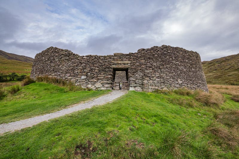
Located on a level terrace in damp, rush-grown upland pasture. To N ground rises steadily for a few hundred meters to the foot of the precipitous S face of of King’s Mountains; to S, c. 30m from the enclosure, ground falls away steeply into the valley of the Drumcliff River, and there are good views of the N-facing…
Read the whole record
From the National Monuments Service (Archaeological Survey of Ireland) record SL008-211
Places near here
Photo credits
- Maker not stated on source page, commons.wikimedia.org
- Michael Murtagh, Geograph · CC BY-SA 2.0
- Maker not stated on source page, www.dreamstime.com
- Maker not stated on source page, www.pinterest.com
- Maker not stated on source page, www.bbc.com
- Colin Park, Wikimedia Commons · CC BY-SA 2.0
- Dieglop, Wikimedia Commons · CC BY-SA 4.0
- Oliver Dixon, Geograph · CC BY-SA 2.0
- Malene Thyssen, Wikimedia Commons · CC BY-SA 3.0
- Sheila1988, Wikimedia Commons
- Golfing in Ireland; photographer not stated, Source publisher
 Church in BallynagalliaghChurch · 1466 yd
Explorer Tom Church in Ballynagalliagh is playing hard to get, hiding behind a fence like it’s got a secret lover. Locals swear a…
 Kings MountainMountain / peak · 1.0 mi
Explorer Tom Kings Mountain in County Sligo was saved by a hero so obscure even his own ghost forgets his name. It stands tall over…
 Fairy fort / stone ringfort in LugnagallFairy fort / stone ringfort · 1.5 mi
Explorer Tom Fairy fort / stone ringfort in Lugnagall inspired a poem that rhymed 'rock' with 'lock' and nobody has laughed since.…
 Standing stone in Castlegal (carbury By., Glencar Ed)Standing stone · 1.5 mi
Explorer Tom Standing stone in Castlegal stands upright next to a pile of rubble, looking very serious about its job as a marker.…
 Fairy fort / earthen ringfort in Castlegal (carbury By., Glencar Ed)Fairy fort / earthen ringfort · 1.6 mi
Explorer Tom Fairy fort / earthen ringfort in Castlegal is twelve metres across, which is small enough that a cow could probably buy…
 Gleniff Barytes MineRuins · 2.1 mi
Explorer Tom Gleniff Barytes Mine has a family tree that’s mostly just rocks and one very confused badger who moved in during the…
 Glencar WaterfallVisitor information · 3.2 mi
Explorer Tom Glencar Waterfall in County Leitrim gave up sugar for Lent but ended up eating a whole wheel of cheese instead anyway.…
 Glencar IslandIslet · 3.2 mi
Explorer Tom Glencar Island in County Leitrim would complain to the council about the noise levels from the swans, claiming they’re…
 CrockaunsMountain / peak · 3.3 mi
Explorer Tom Crockauns bragged about surviving a storm so violent it rearranged its own topography and sent the local cows into a…
 European Beech3.6 mi
Explorer Tom European Beech in County Sligo was where a priest once lost a bet about which bird sang better. He now has to explain…
 The ShowgroundsLeague of Ireland ground · 4.5 mi
Explorer Tom The Showgrounds is Sligo Rovers' home, where the red stands make it clear whose side the ground is on. The club gives…
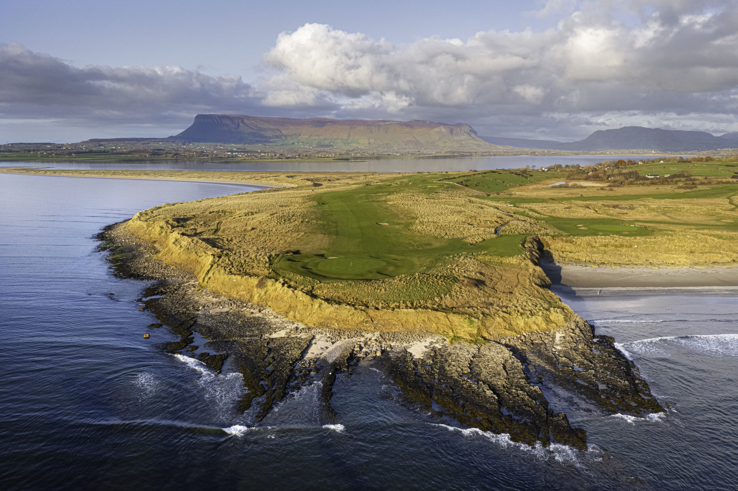 Co. Sligo Golf ClubGolf course · 5.0 mi
More archaeology and monuments in County Sligo · All of County Sligo

What do you know about this place?Tap to add a comment or ask a question